
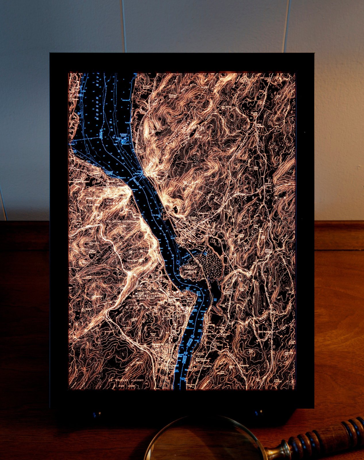
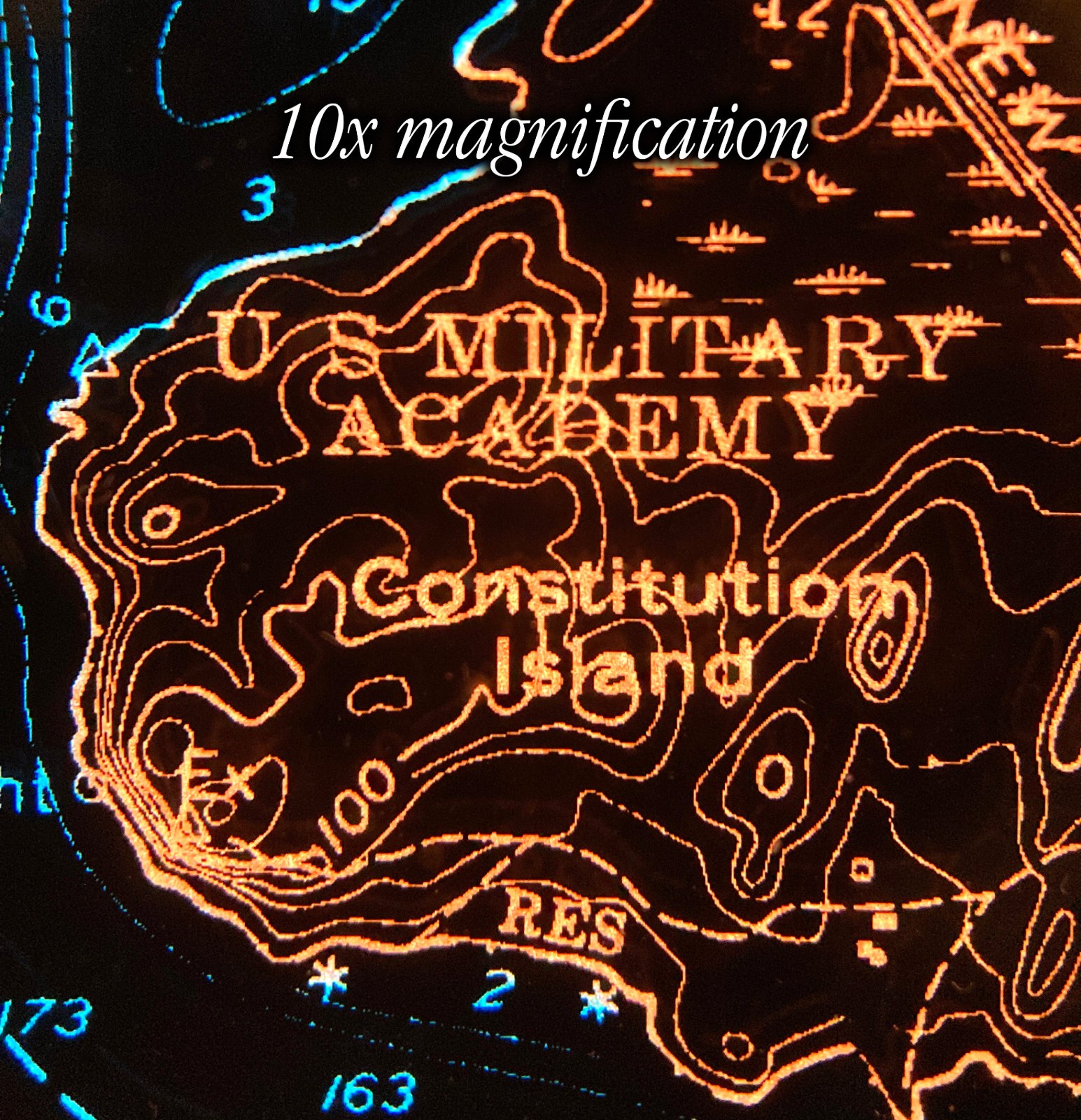
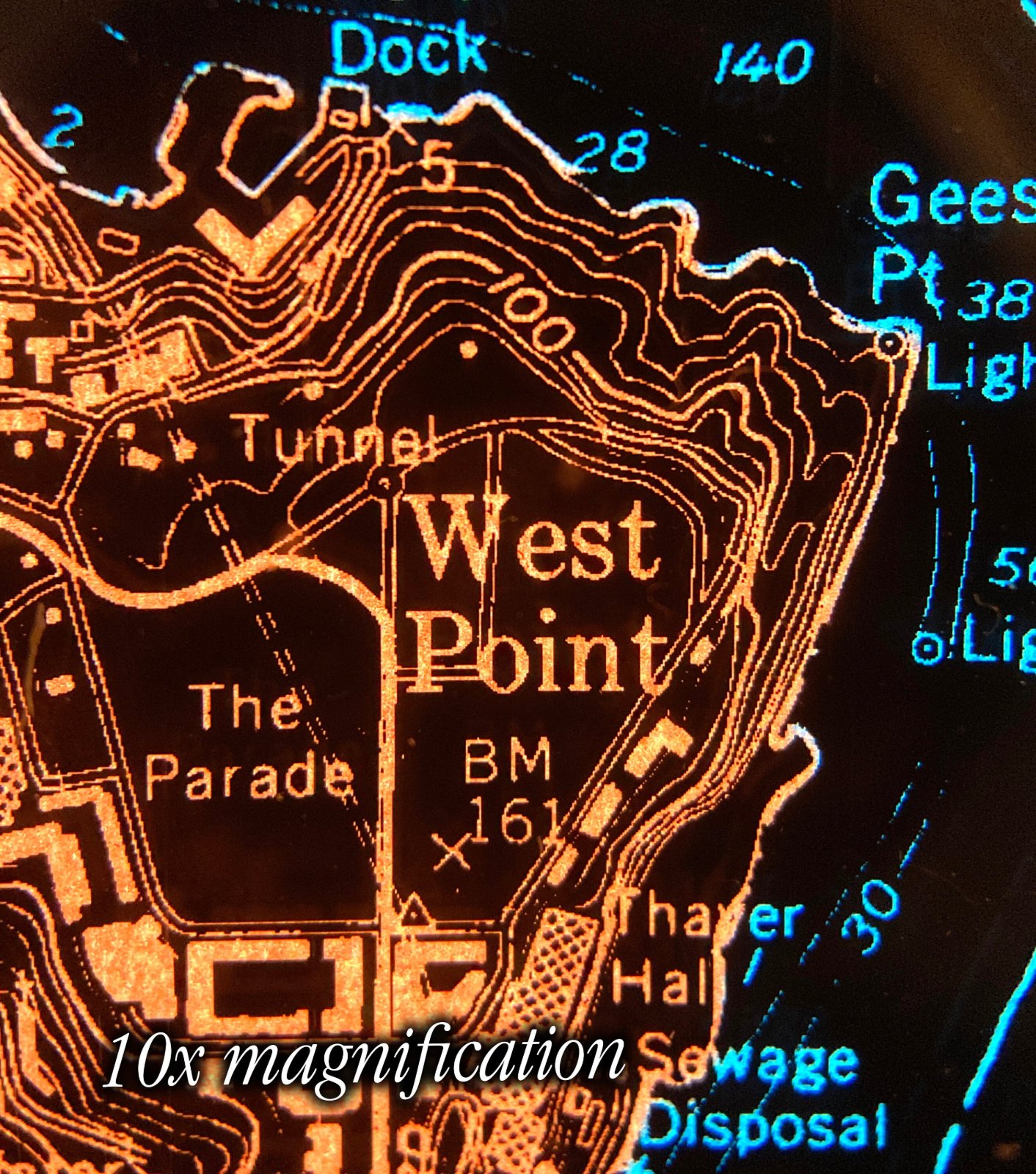
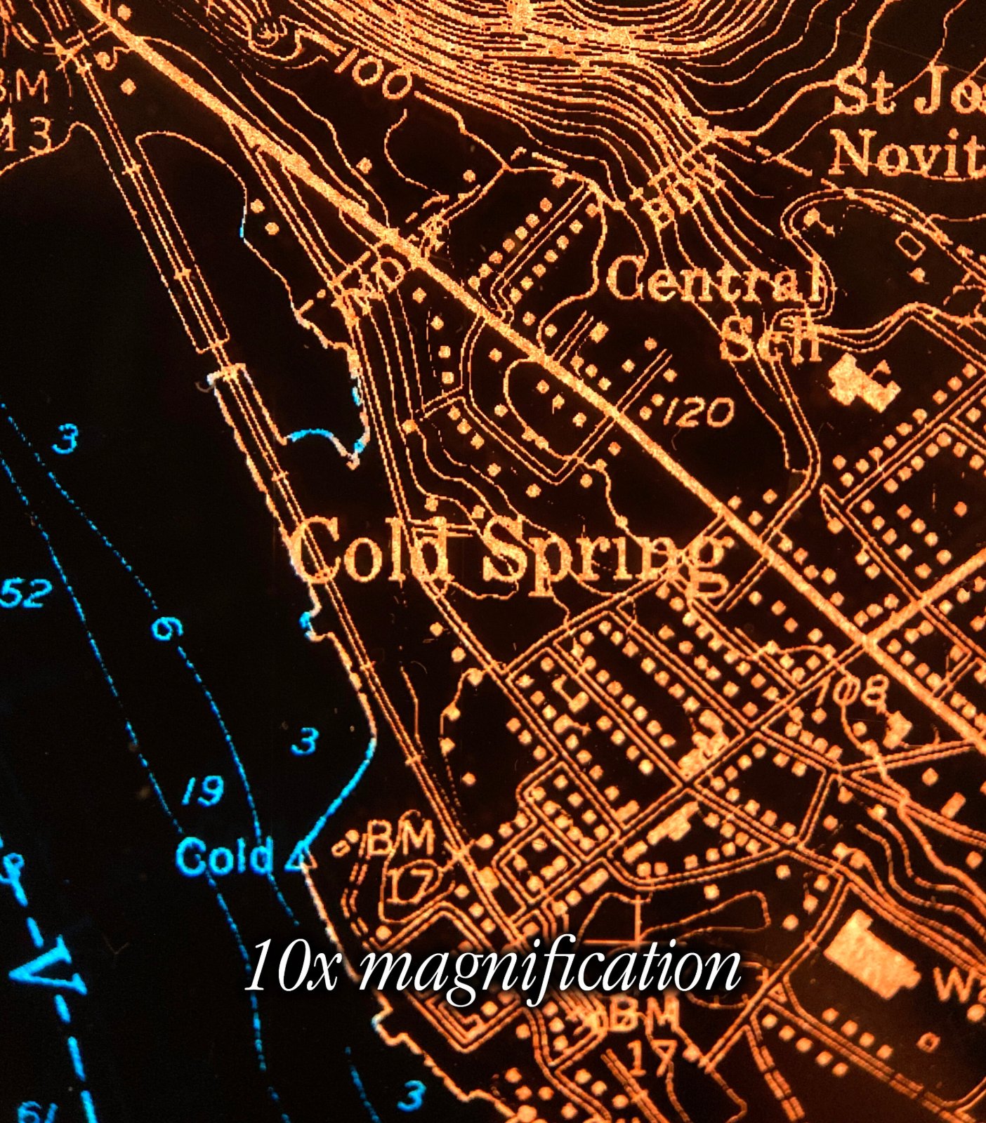
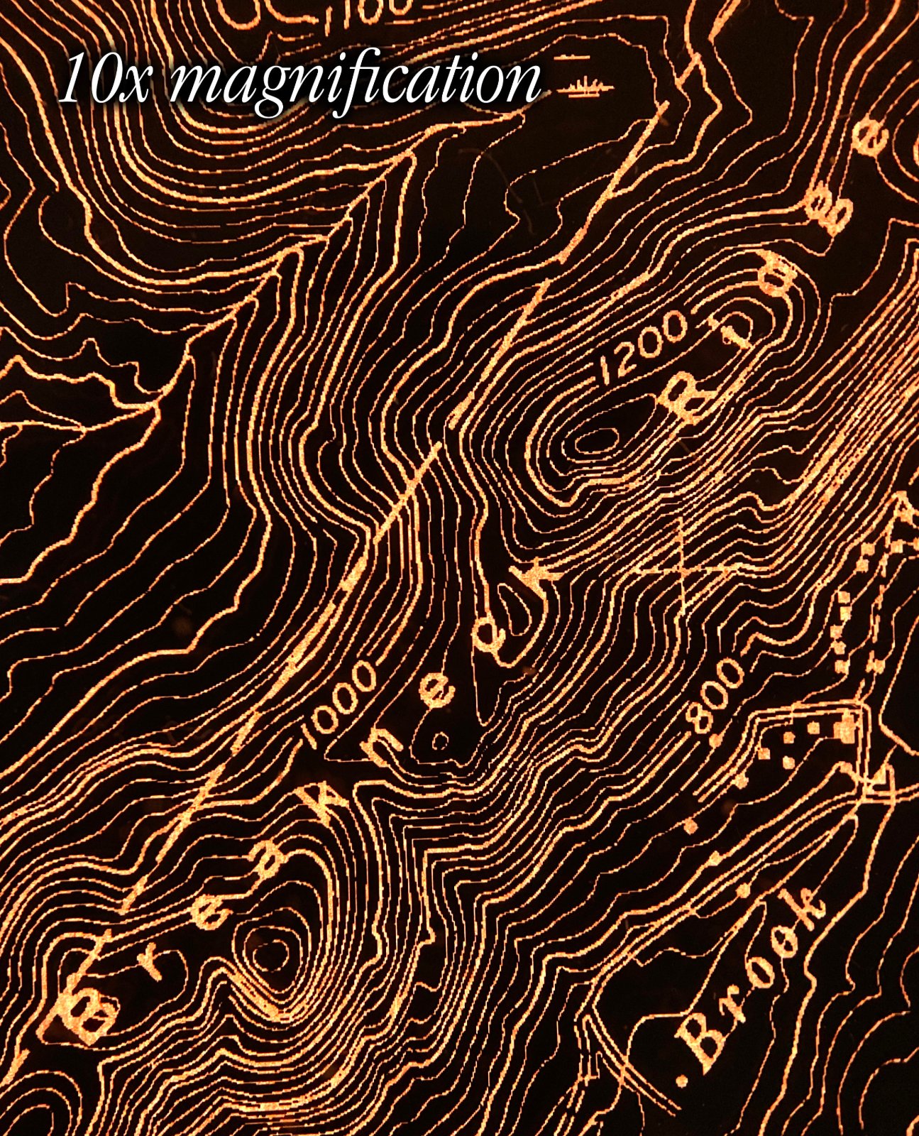
Backlit Cold Spring & West Point Map
$1,500
Materials: Film, Wood
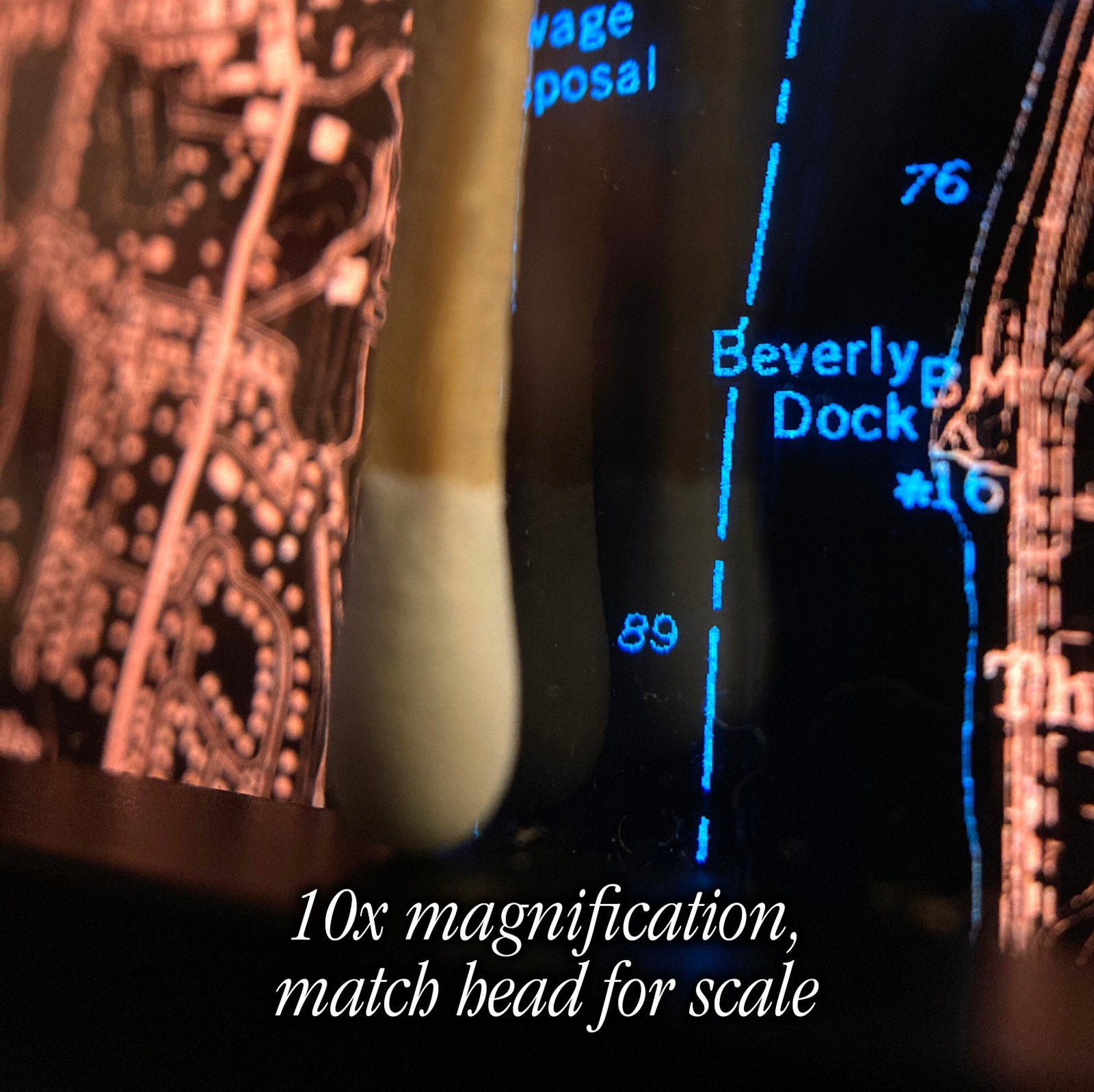
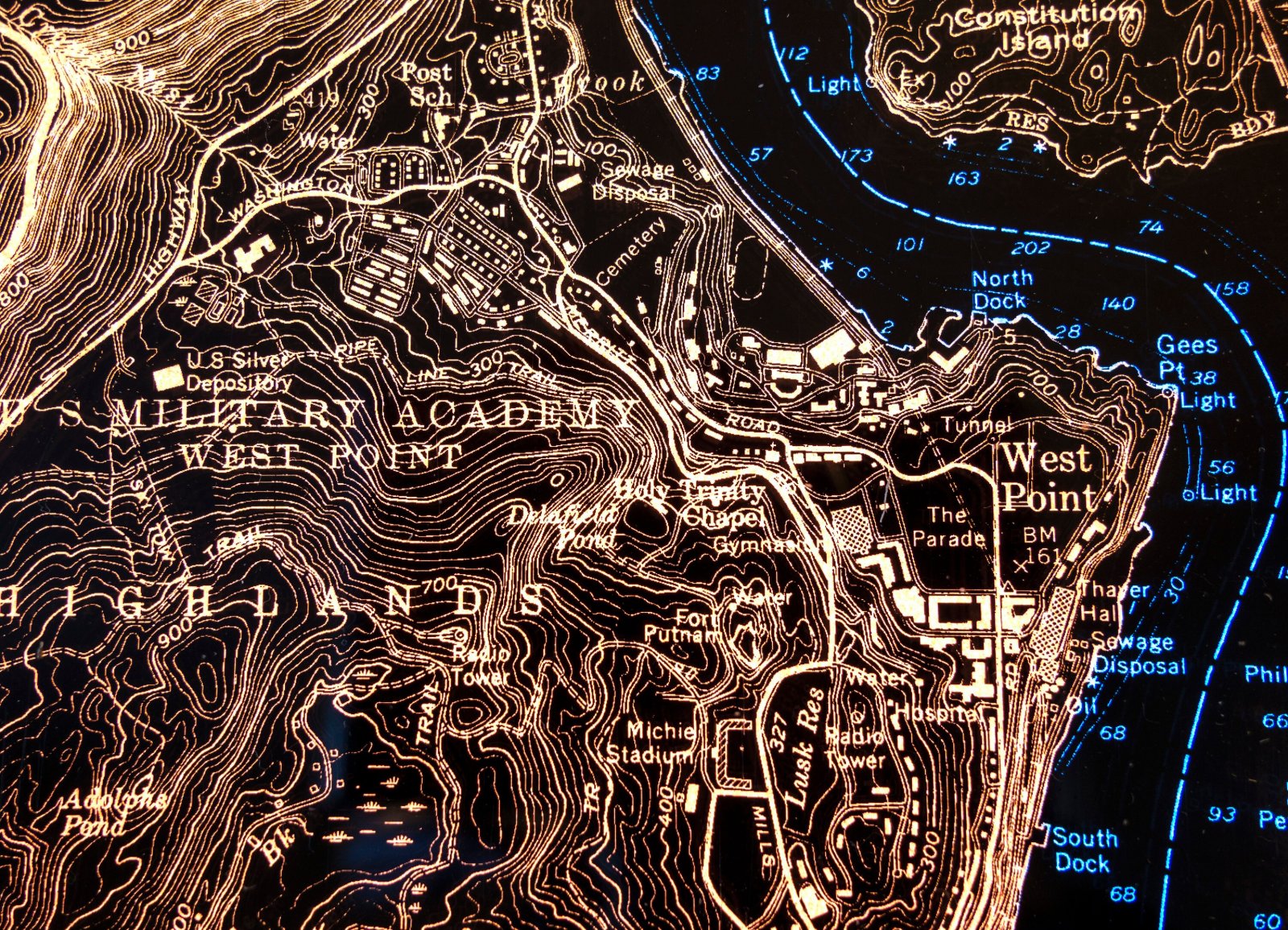
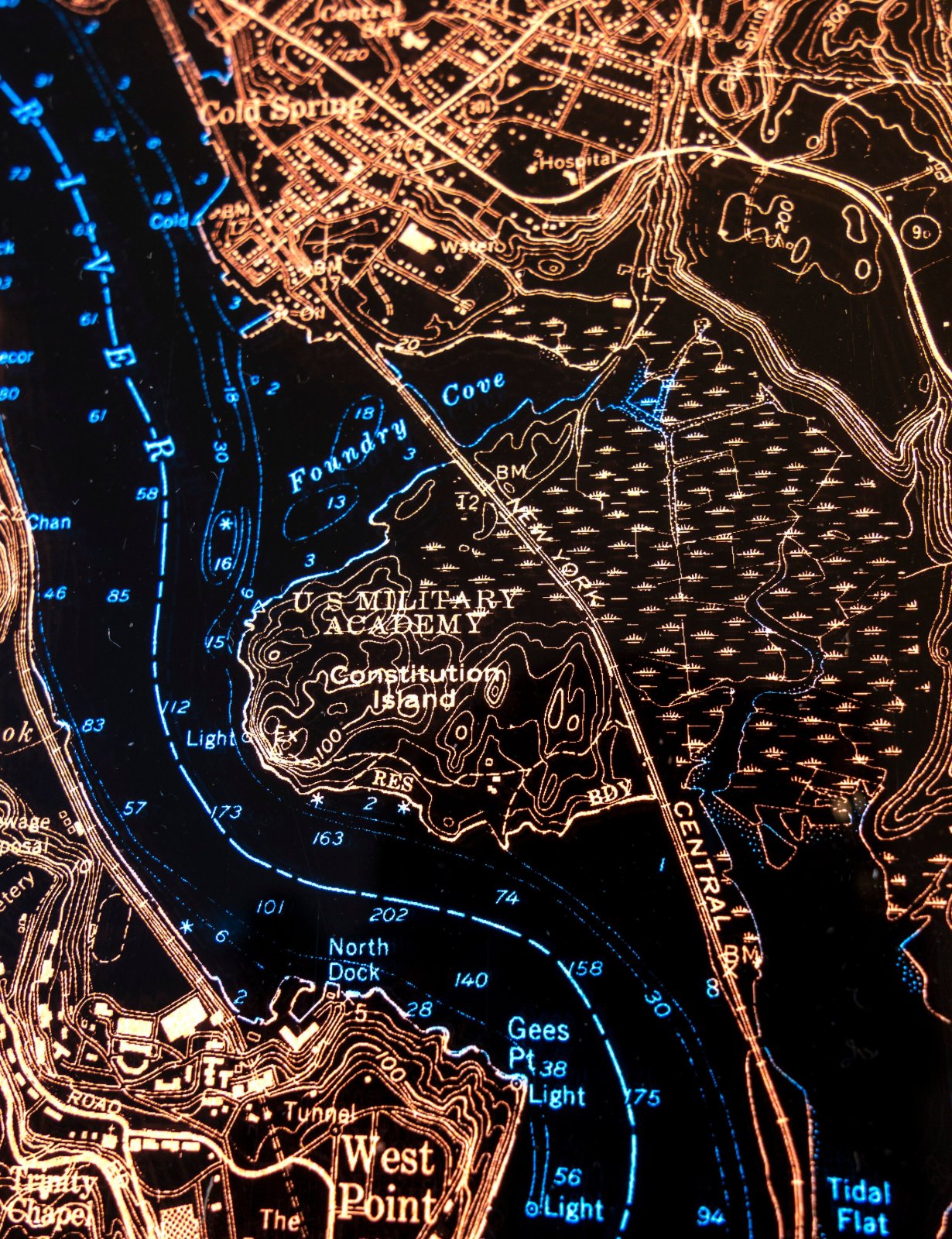
12x9” 3600DPI illuminated film print. Map by the U.S. Coast & Geodetic Survey, 1930s.
The USCGS, now NOAA, charted the Hudson River to keep boats moving (all those numbers are soundings).
- 12x9x1 ½", aluminum or handmade wooden frame.
- Glazed with thick, transmissive chemcast acrylic.
- Powered by standard outlet or USB.
- Includes dimmer switch, hanging cleat, desk stand.
- Made to order, ships by UPS; at your door in about 6 weeks.