
Custom Backlit Topographic Map
$1,500
Materials: Aluminum, Film
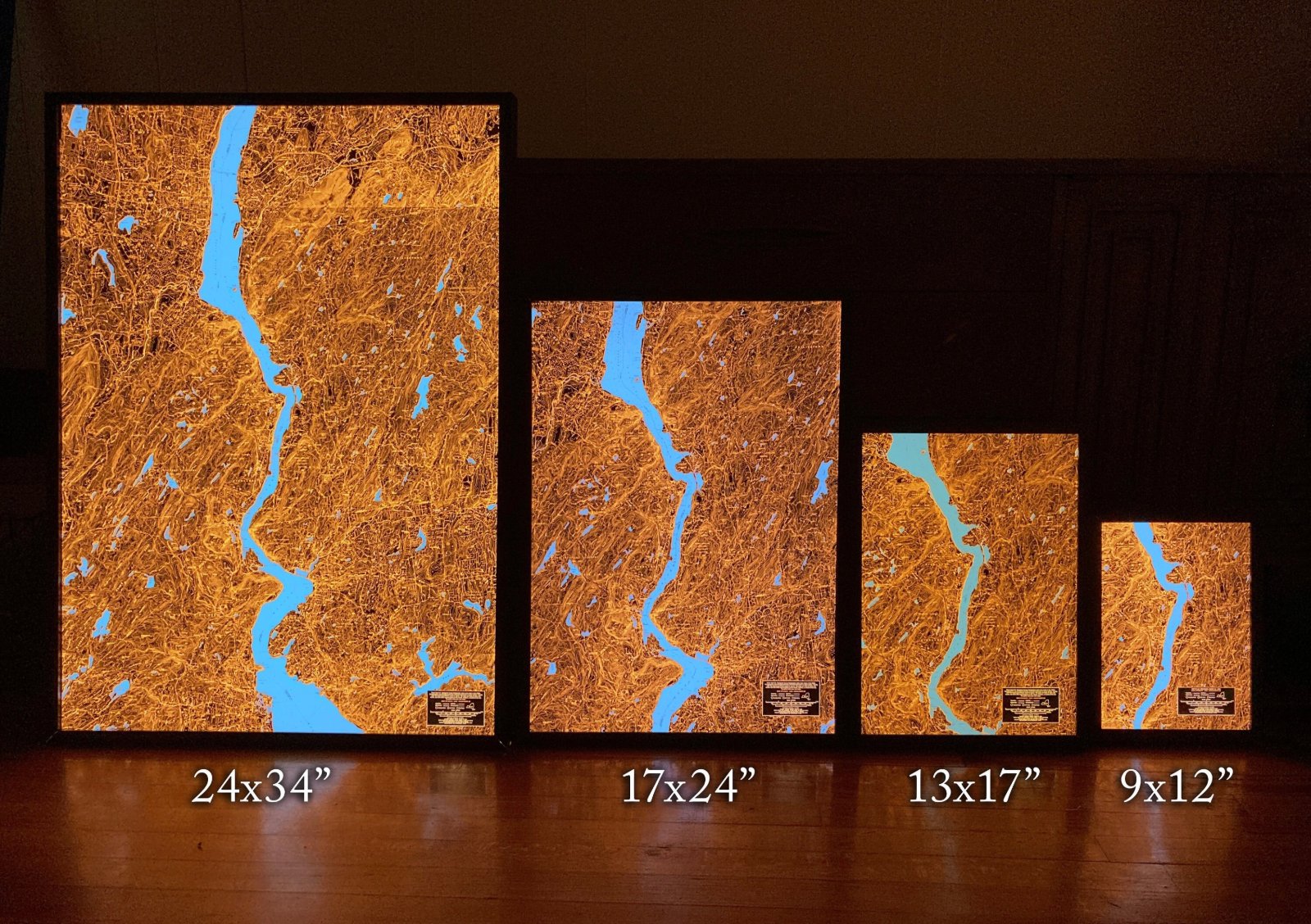
See the actual map files to see what you can fit on each size.
A U.S. Geological Survey topographic map of your area turned into an illuminated, 3,600 DPI backlit print: hang it up or stand it on your desk, grab a magnifying glass and get lost.
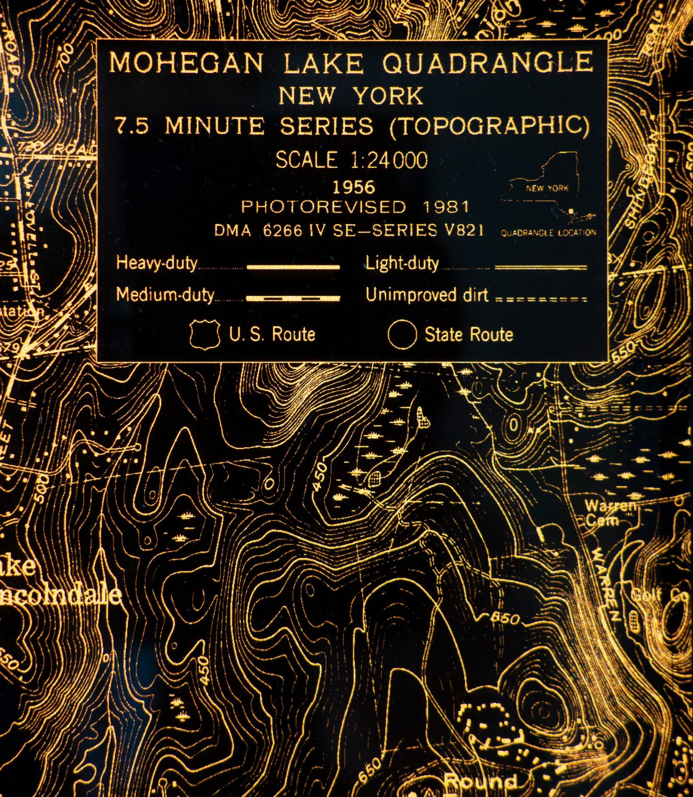
From 1945 to 1992 the USGS published tens of thousands of 1:24,000 scale topographic maps. The maps are a feat, the product of decades of work by hundreds of cartographers, surveyors, geodesists, photogrammetrists and drafters.
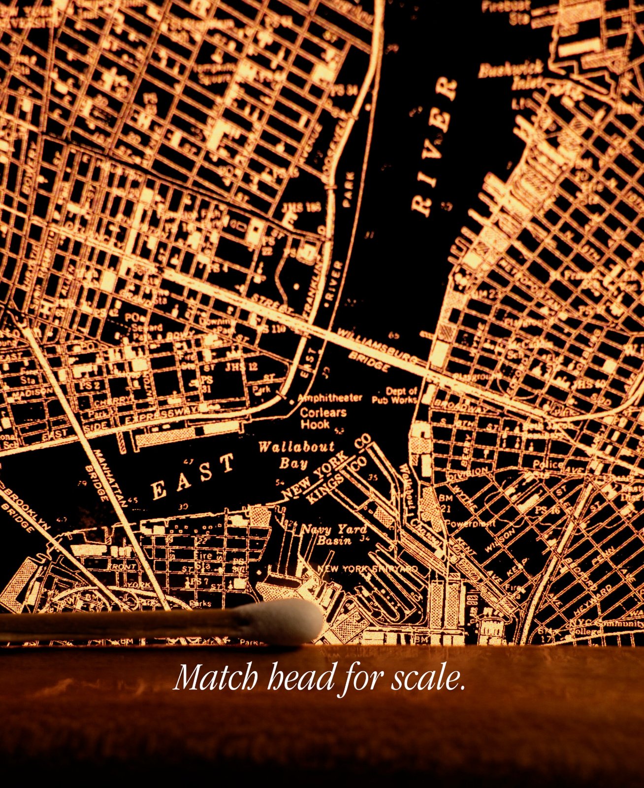
If the Survey cared to know the location of a natural feature or human-made object, it was logged: buildings of temporal or spiritual authority, roads, petrochemical and electrical infrastructure, survey benchmarks, water treatment plants, high and low points, rivers, streamgages, bridges, railroads, cliffs, reefs, soundings, piers, prisons, lakes, swamps.
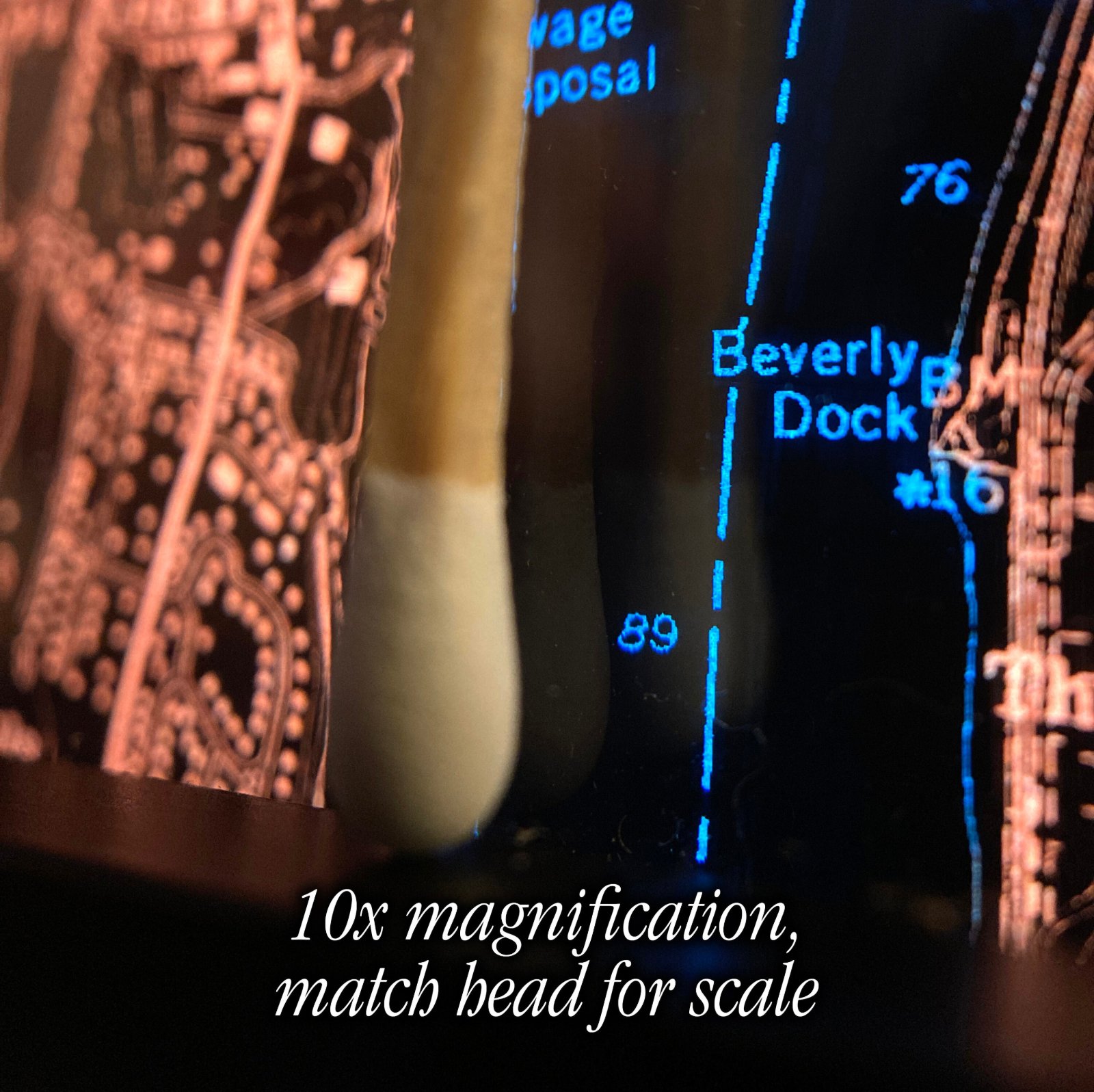
- Extreme detail: 3,600 DPI resolution, lines down to 0.15mm.
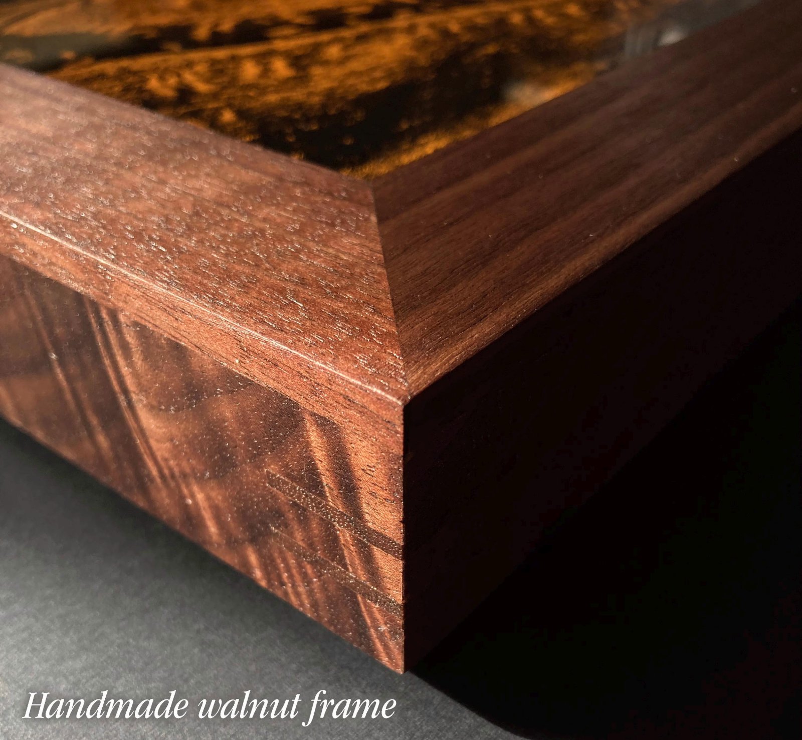
- Enclosed in an aluminum frame.
- All sizes are 1.25" thick.
- Weights:
- Glazed with low-glare acrylic.
- Plugs into standard outlet.
- Includes dimmer switch + wire hanging hardware, A2 and A1 sizes include a hanging cleat you screw into the wall with anchors.
- Made to order, ships by UPS; at your door in about 6 weeks.