
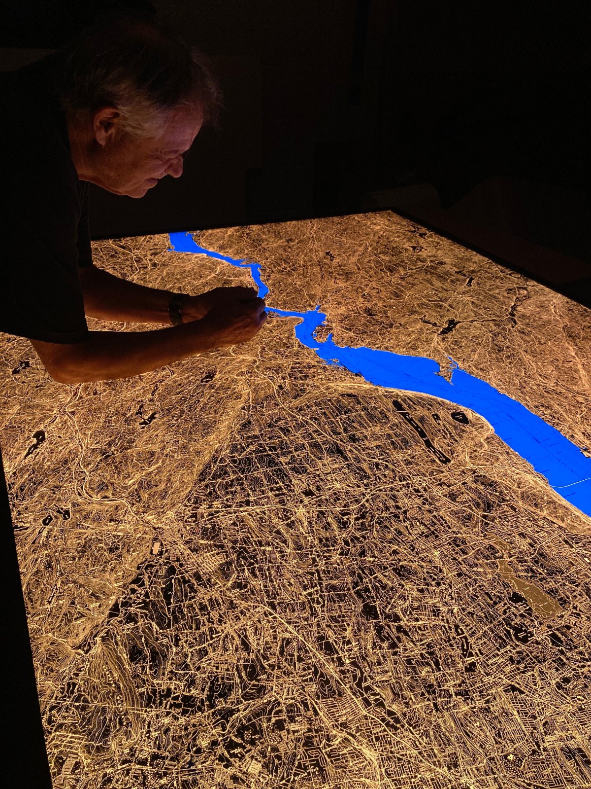
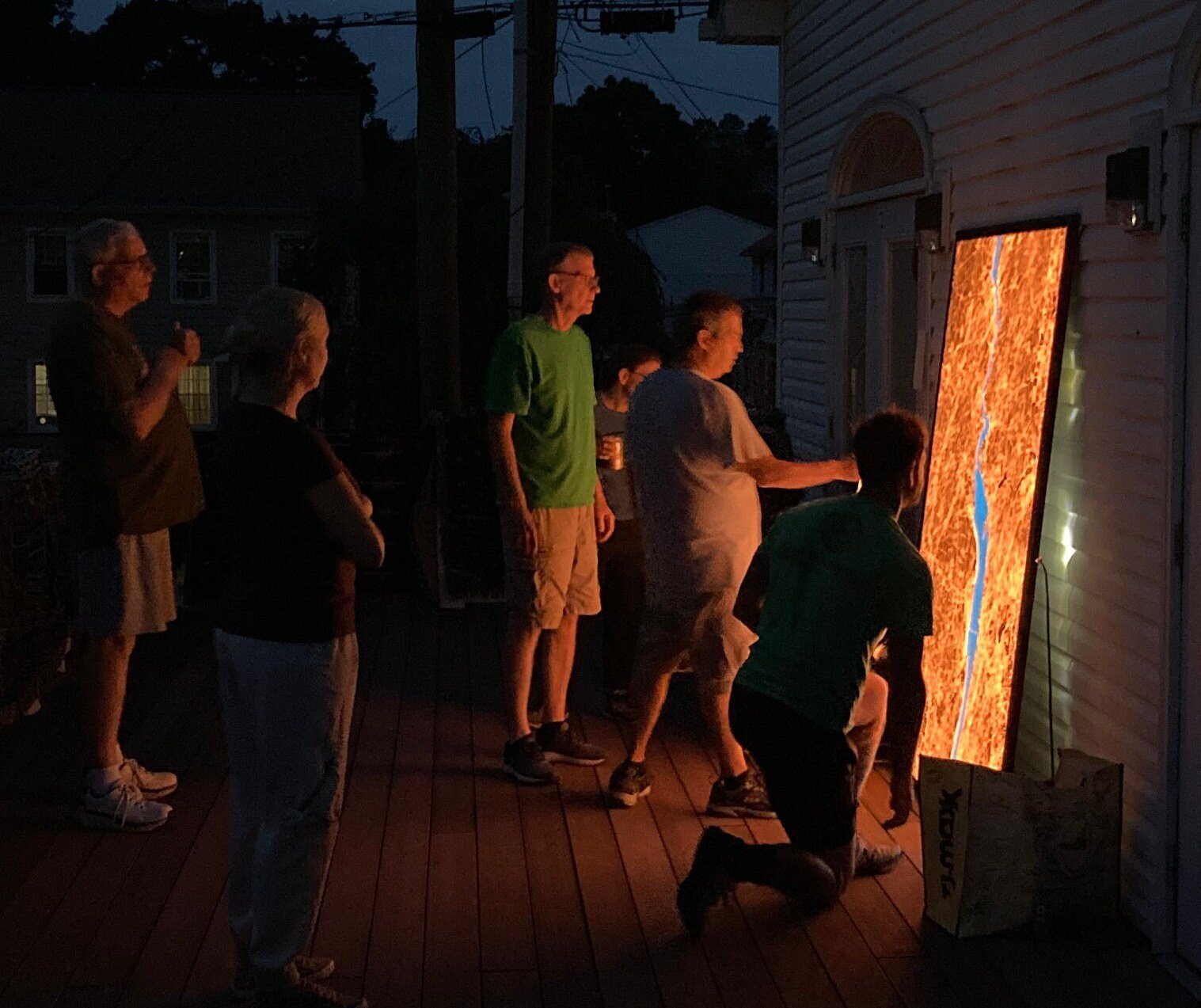
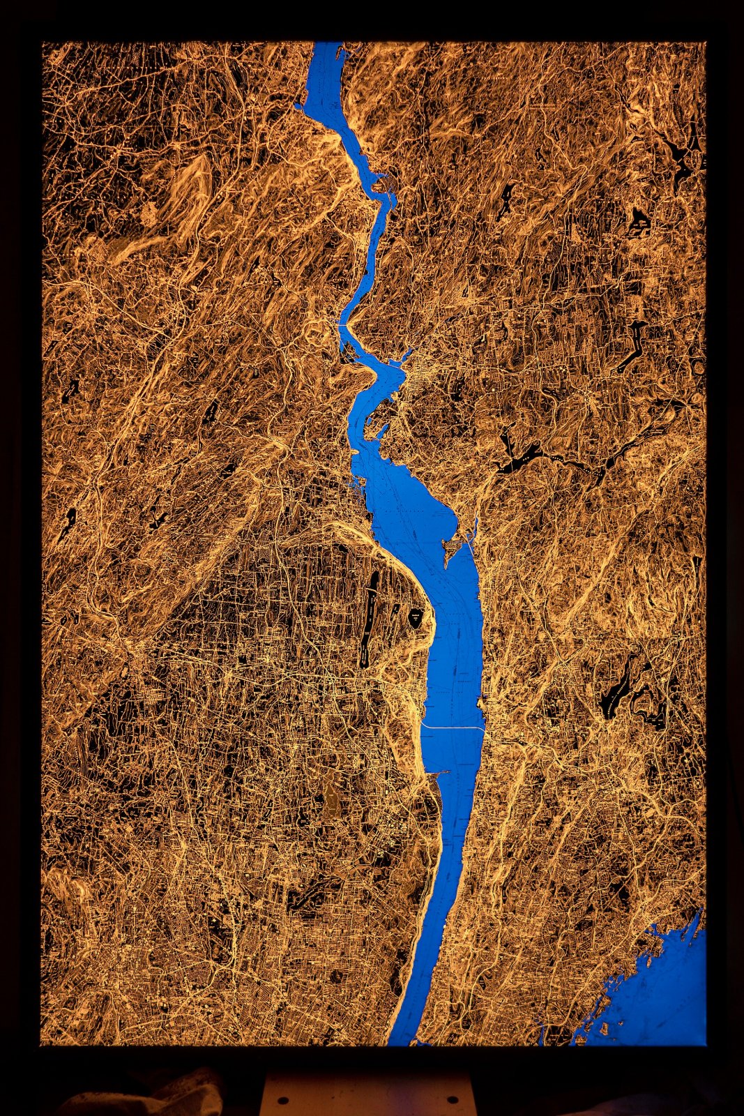
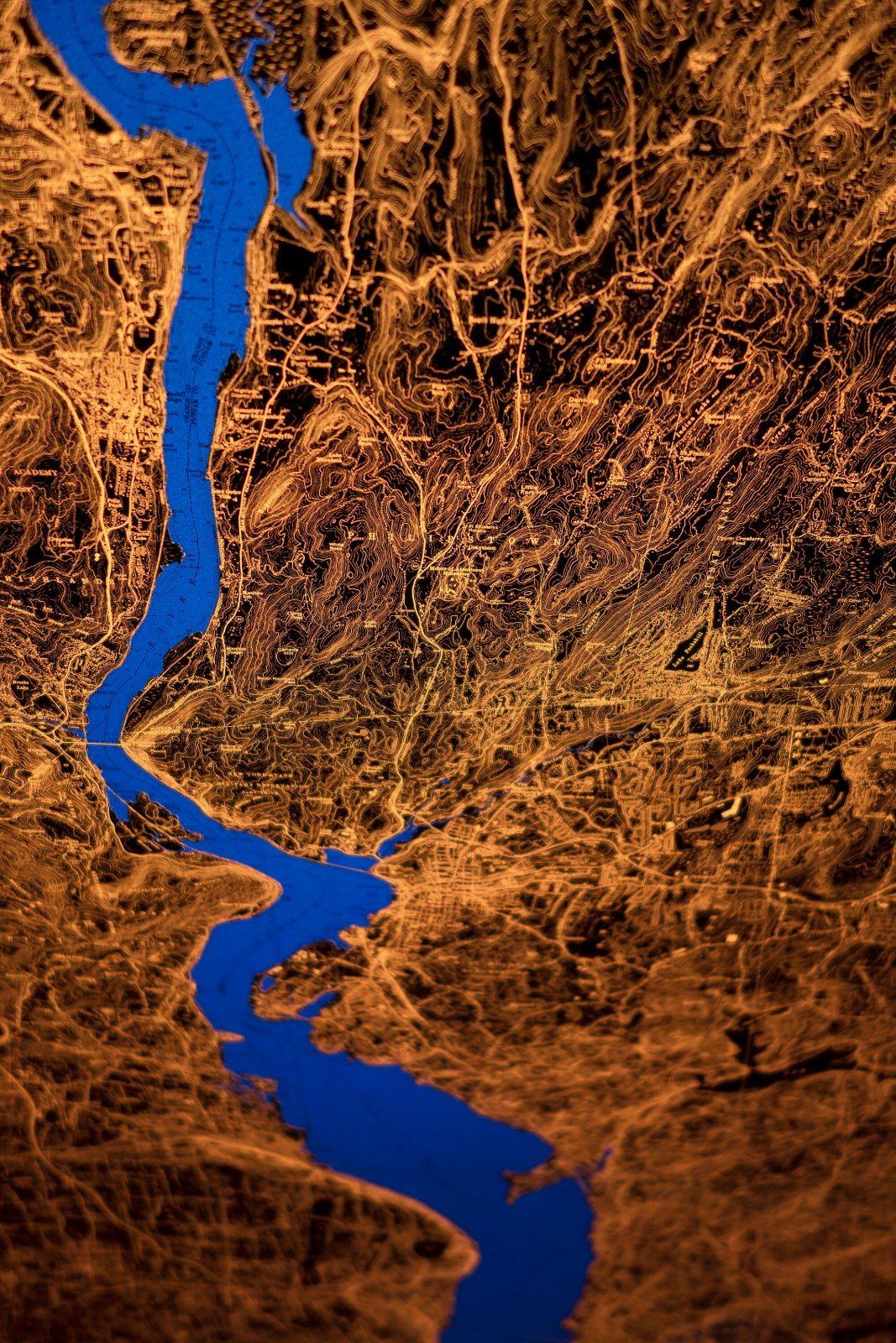

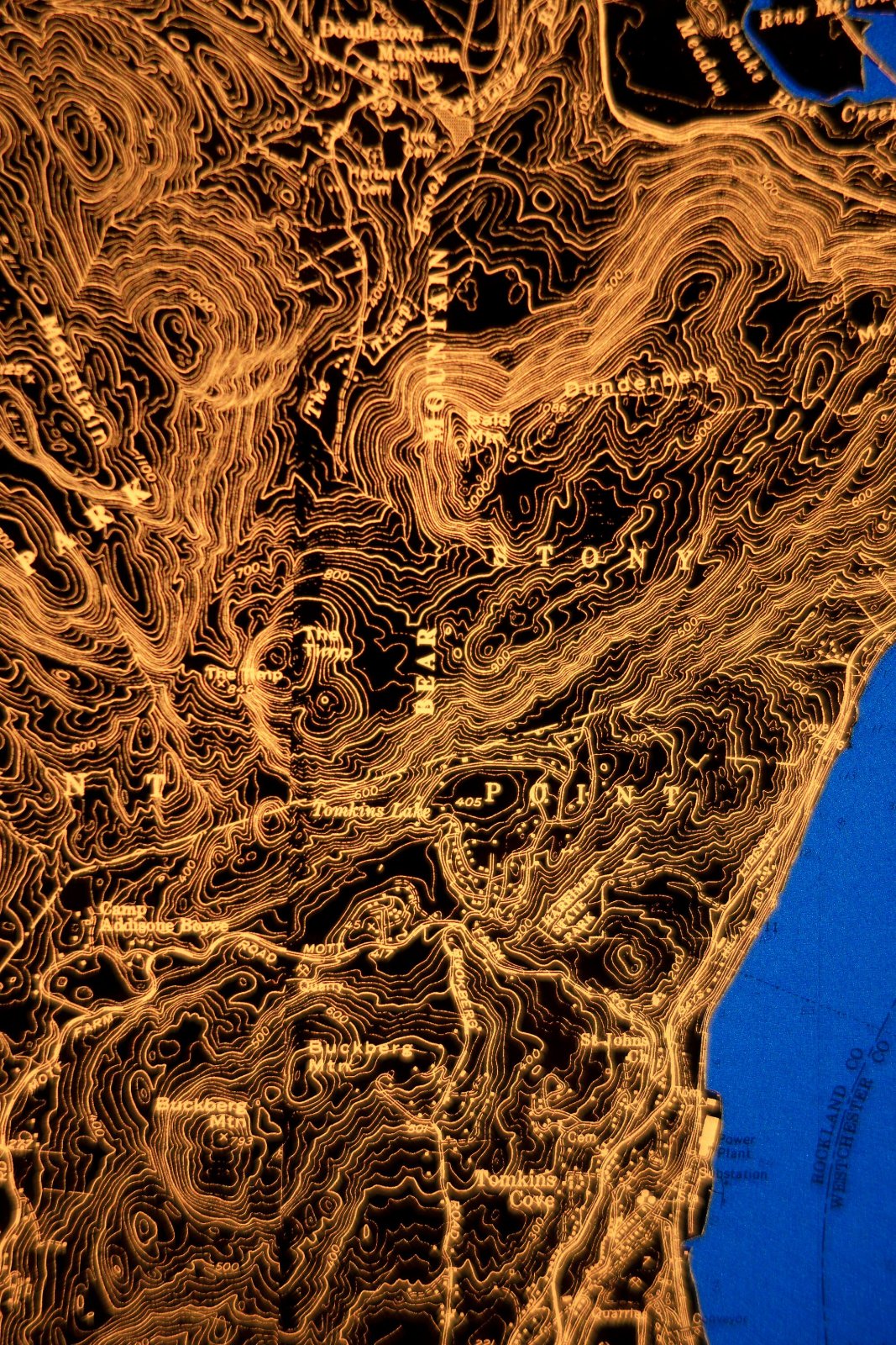
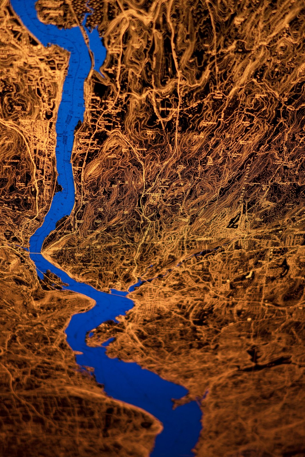
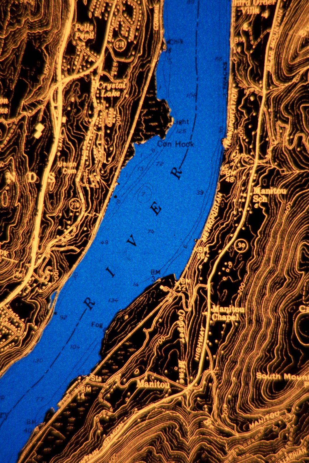
Hudson Valley Backlit Map, 6x4 ft.
$20,000
Materials: Film
radiantmaps.co/hudson-valley.
Inspect the full map.
From 1945 to 1992 the United States Geological Survey published tens of thousands of 1:24,000 scale topographic maps. The maps are a feat, decades of work by hundreds of skilled cartographers, surveyors, geodesists, photogrammetrists and drafters.
These maps, 42 of which are tiled here, divide the country into 70-square-mile rectangles. A U.S.G.S. guy (tie?) inspected every inch of a stereographic (think blue-and-red 3D glasses) aerial photo, logging what the U.S.G.S cared about: buildings of temporal or spiritual authority, roads, petrochemical and electrical infrastructure, survey benchmarks, water treatment plants, high and low points, rivers, streamgages, bridges, railroads, cliffs, reefs, soundings, piers, prisons, lakes, swamps, depth soundings, navigational aids, elevation contours.
- 48x72x2", 60 lb.
- Glazed with thick, transmissive chemcast acrylic.
- Plugs into standard outlet. You choose whether you want the cord to come out of the top, bottom or side of the frame.
- Includes dimmer switch & hanging cleat.
- Made to order, ships by UPS; at your door in about 12 weeks.