
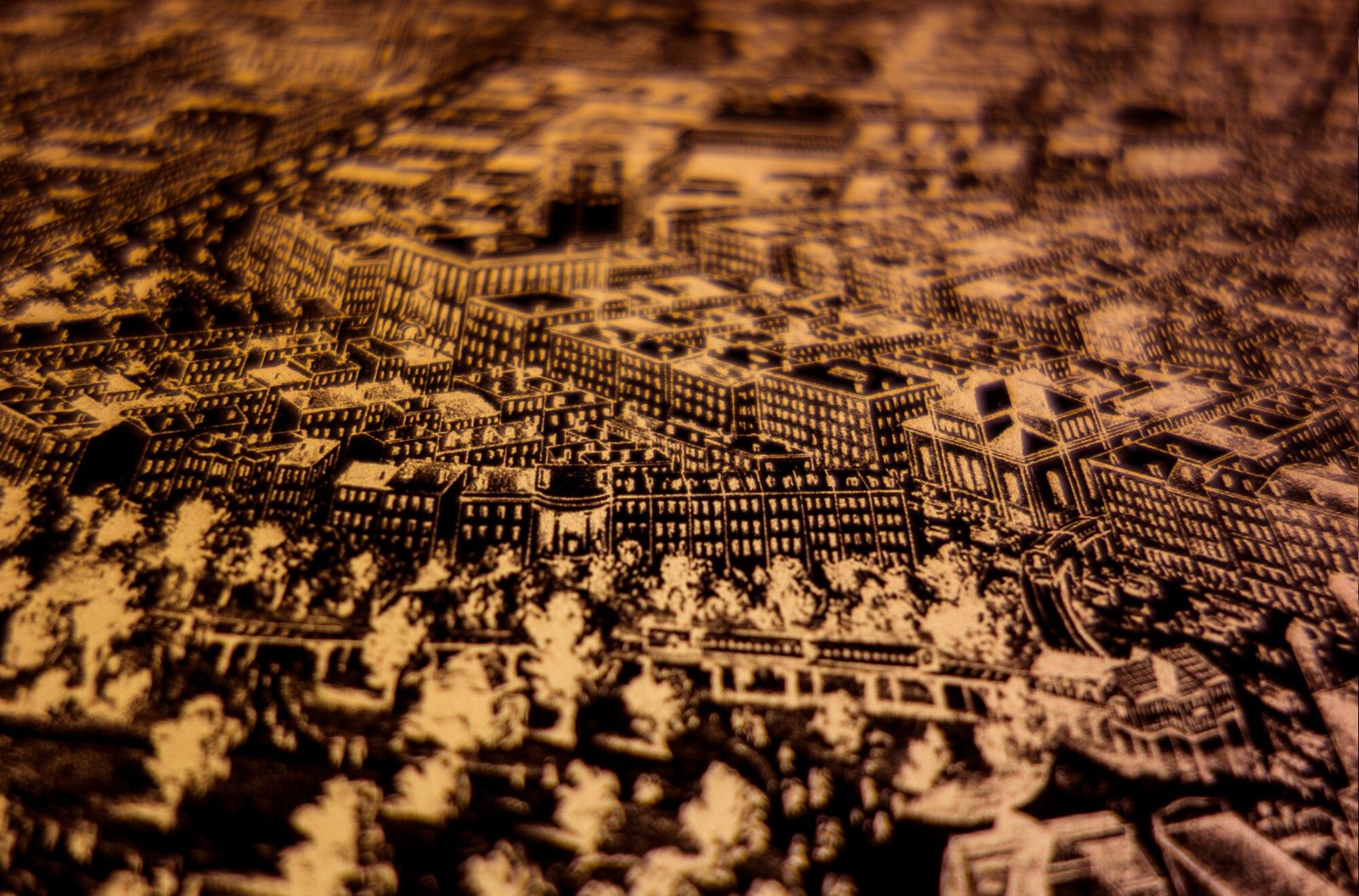
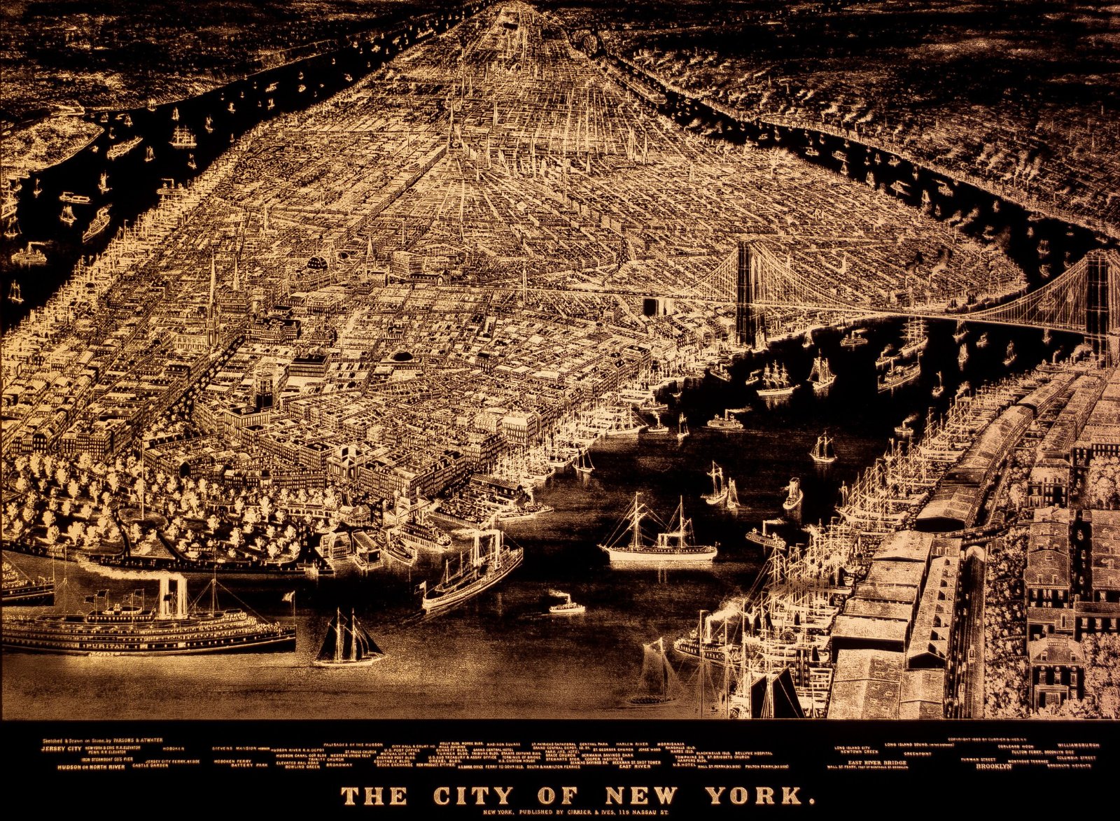
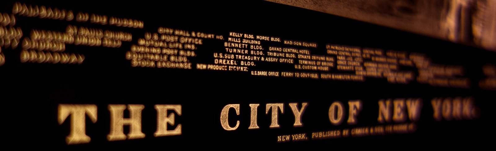
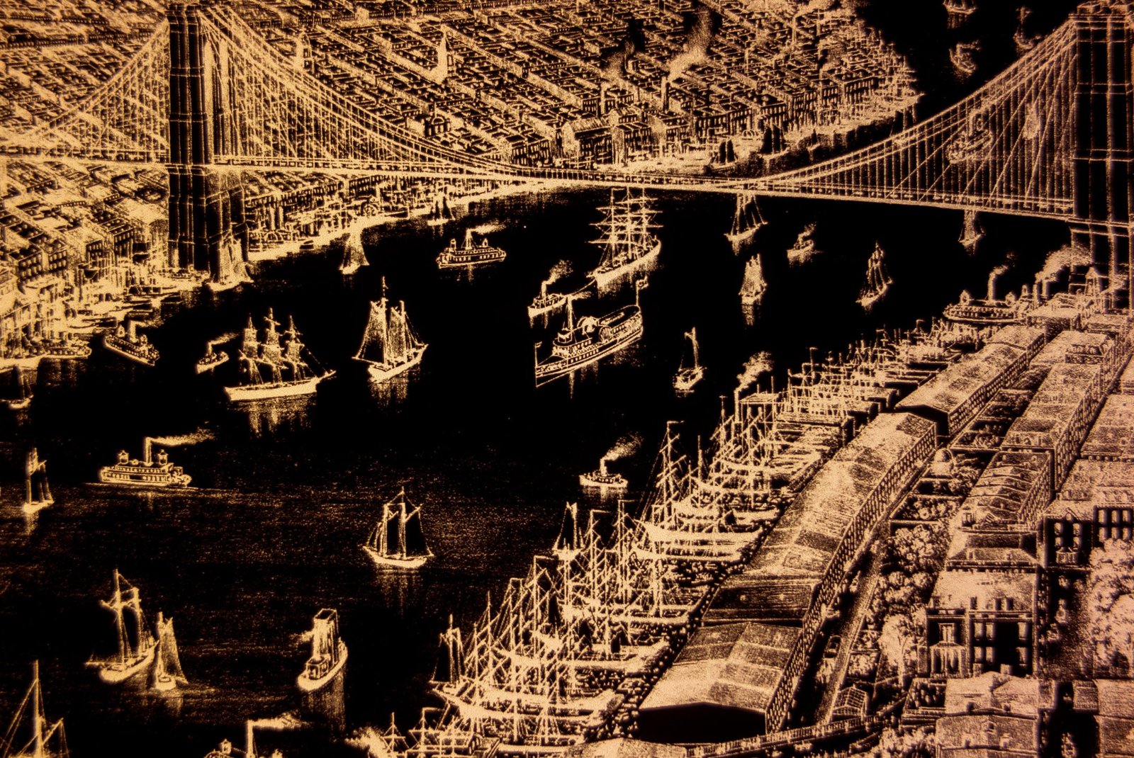
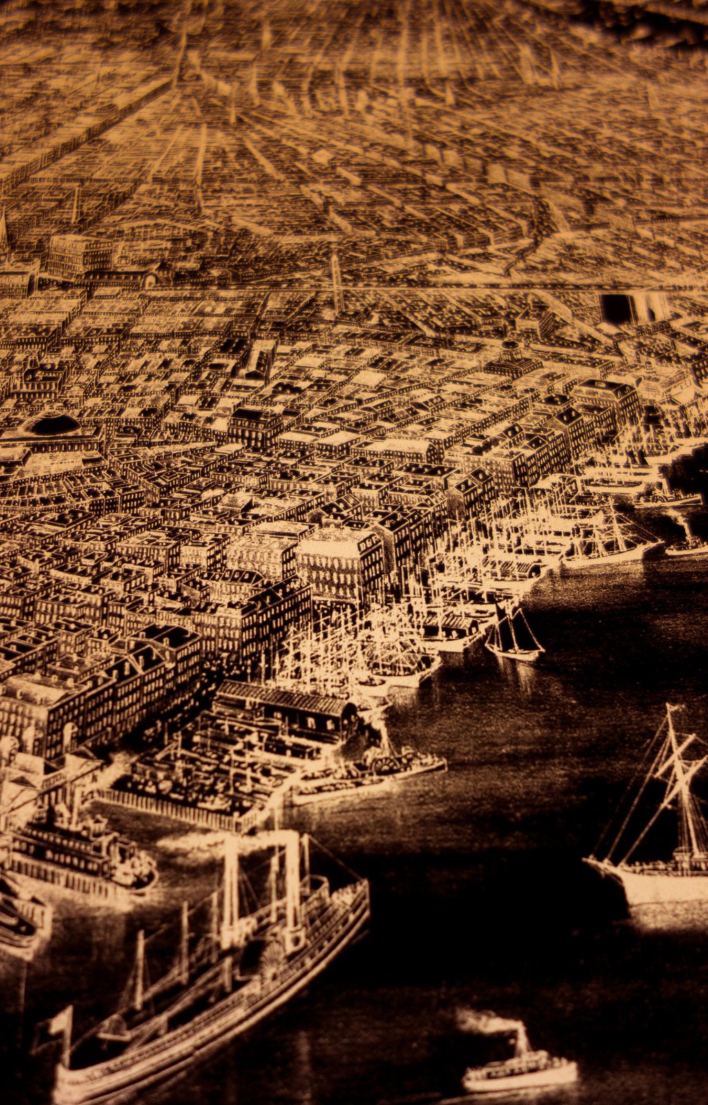
Backlit Map of Manhattan ca. 1883
$5,000
Materials: Film, Wood
More views at radiantmaps.co/nyc-1883.
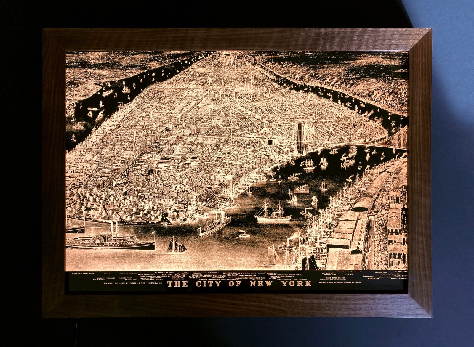
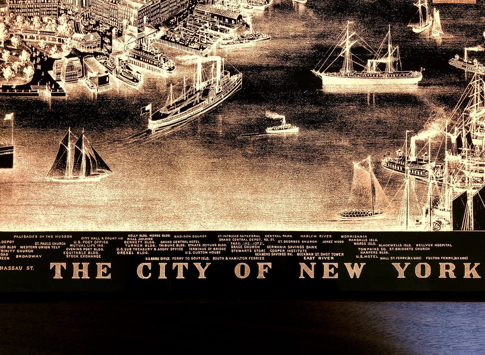
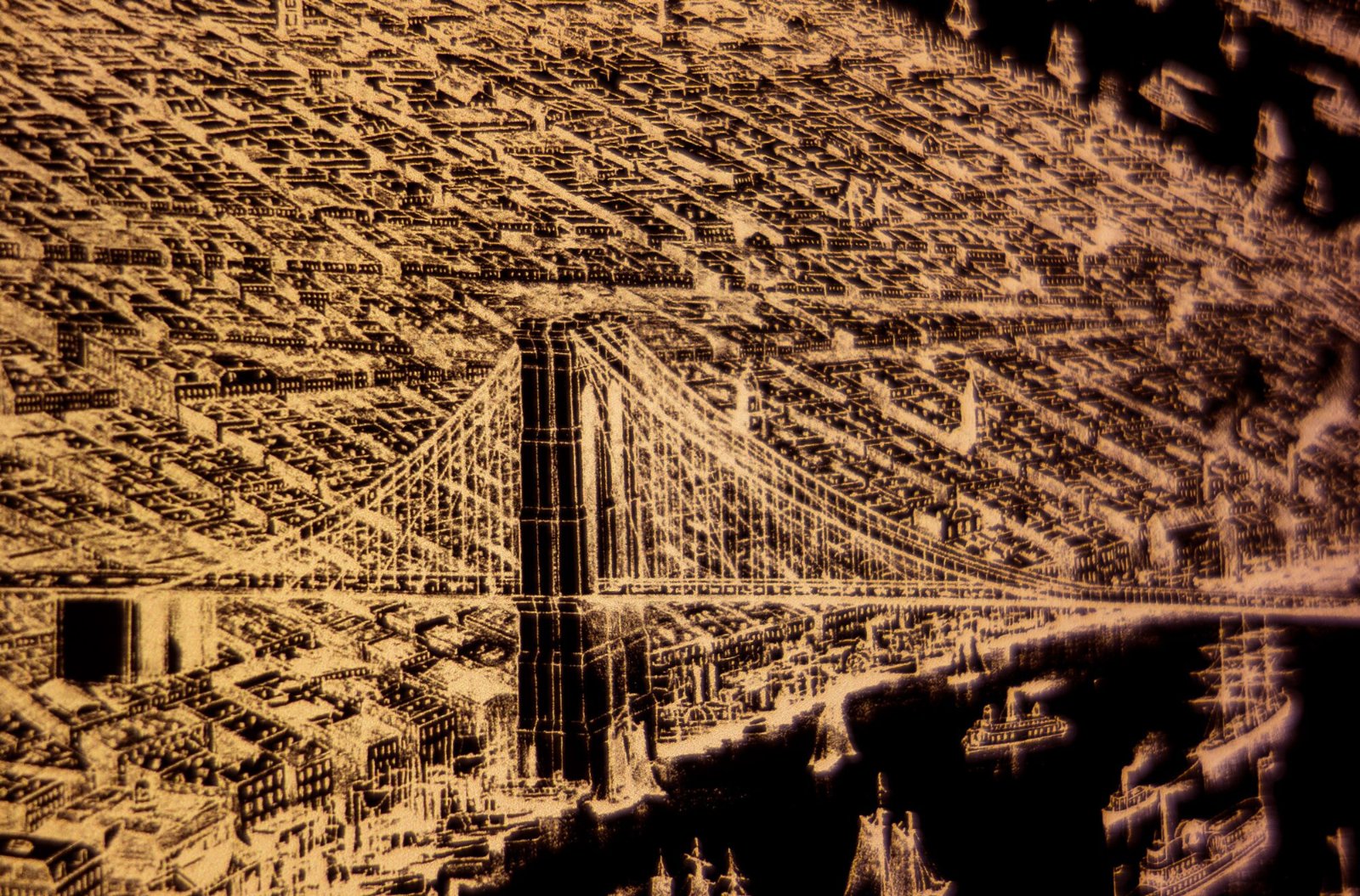
25x19” illuminated print. Map by Parsons & Atwater, published by Currier & Ives.
The Equitable Life Assurance Society Of The United States paid lithographers Currier & Ives for a map that included their building at 120 Broadway, a particularly handsome piece of 140-year-old spon-con.
Facing north from Battery Park: steamships crowd New York Harbor, horse-drawn carriages clop up Broadway, Central Park recedes into the distance, agrarian New Jersey stretches west. 140 years ago the steeples of St. Paul’s, St. Patrick’s and Trinity Church dwarfed the commercial buildings.
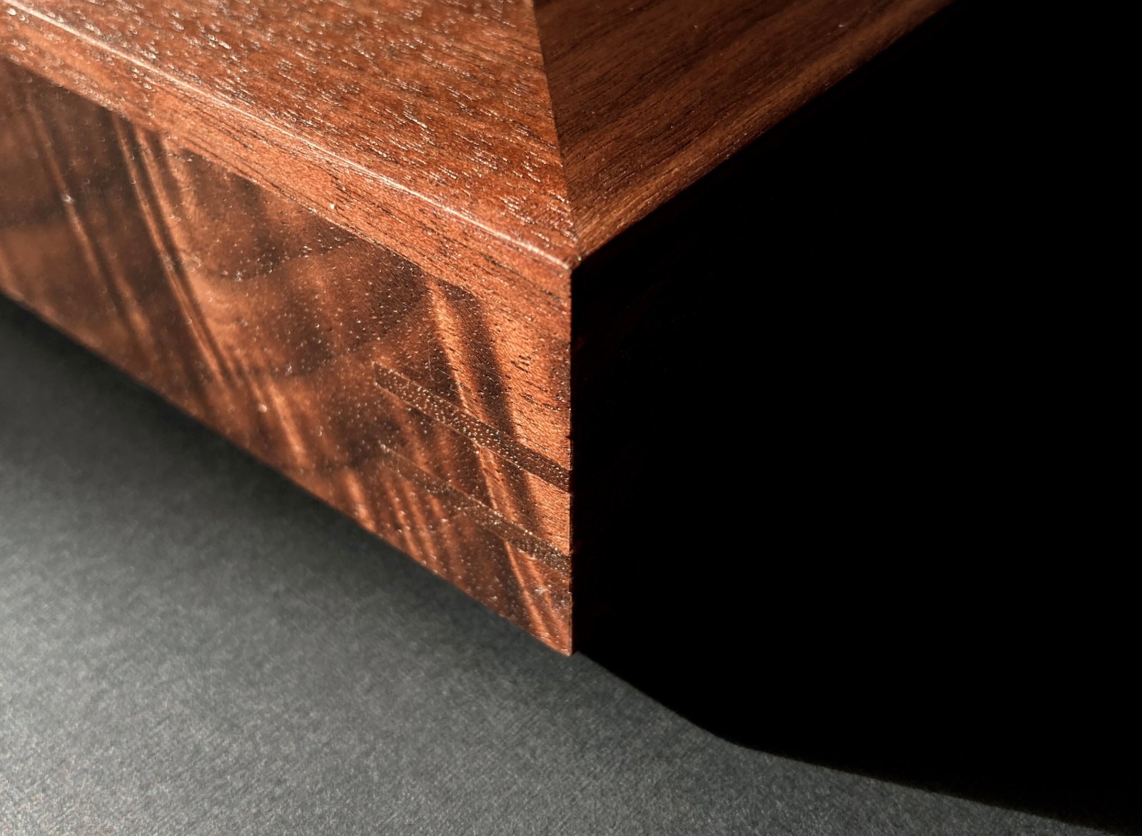
- 19x25x2", 20 lb, walnut frame.
- Glazed with thick chemcast acrylic.
- Plugs into standard outlet.
- Includes dimmer switch & hanging cleat.
- Made to order, ships by UPS; at your door in about 6 weeks.