
All Goods > Glowing Maps
Backlit Map of Massachusetts, Connecticut & Rhode Island, photo 1 of 10Backlit Map of Massachusetts, Connecticut & Rhode Island, photo 2 of 10Backlit Map of Massachusetts, Connecticut & Rhode Island, photo 3 of 10Backlit Map of Massachusetts, Connecticut & Rhode Island, photo 4 of 10Backlit Map of Massachusetts, Connecticut & Rhode Island, photo 5 of 10Backlit Map of Massachusetts, Connecticut & Rhode Island, photo 6 of 10Backlit Map of Massachusetts, Connecticut & Rhode Island, photo 7 of 10Backlit Map of Massachusetts, Connecticut & Rhode Island, photo 8 of 10Backlit Map of Massachusetts, Connecticut & Rhode Island, photo 9 of 10Backlit Map of Massachusetts, Connecticut & Rhode Island, photo 10 of 10

Backlit Map of Massachusetts, Connecticut & Rhode Island

$3,000
Materials: Aluminum, Film
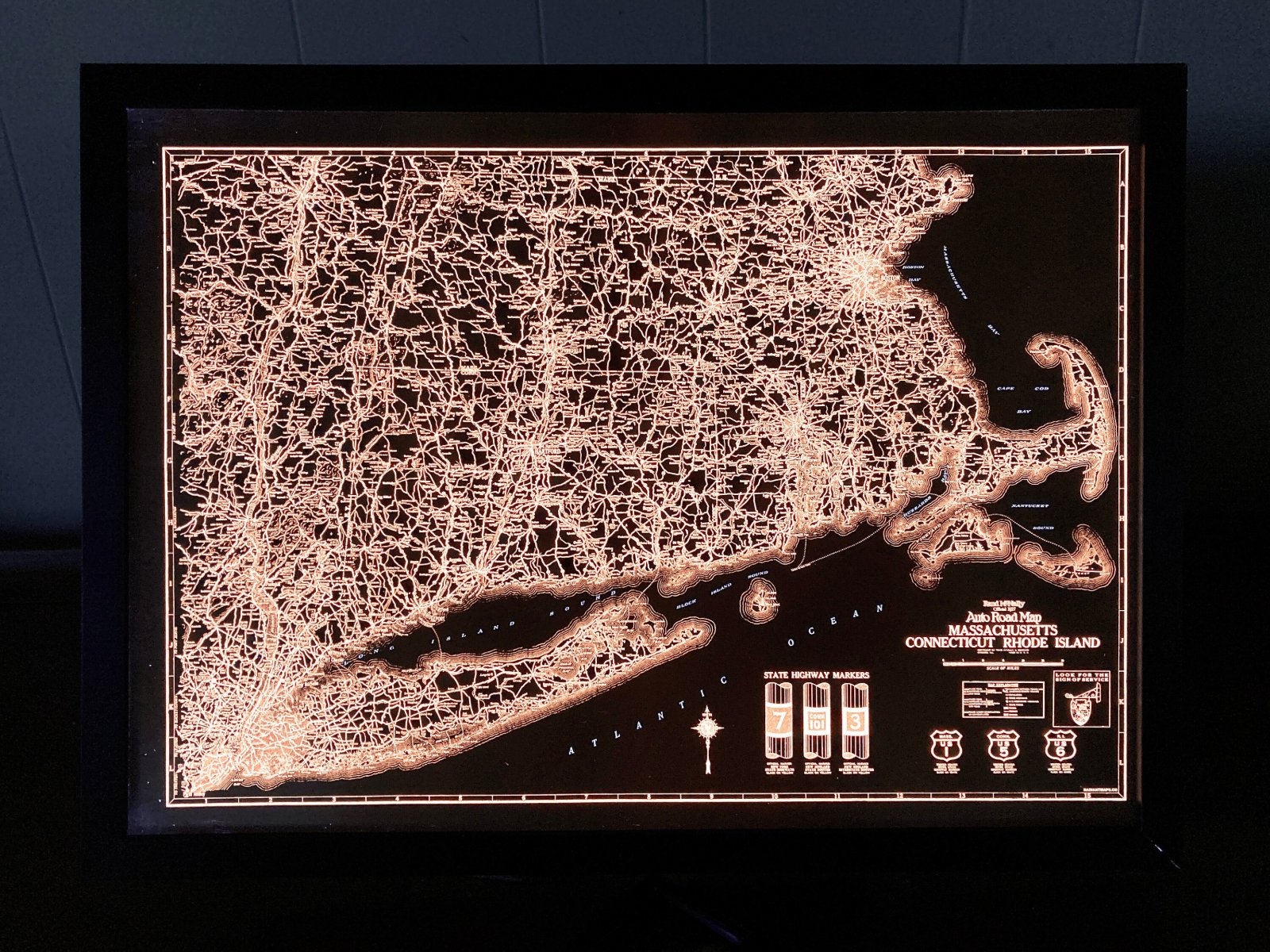
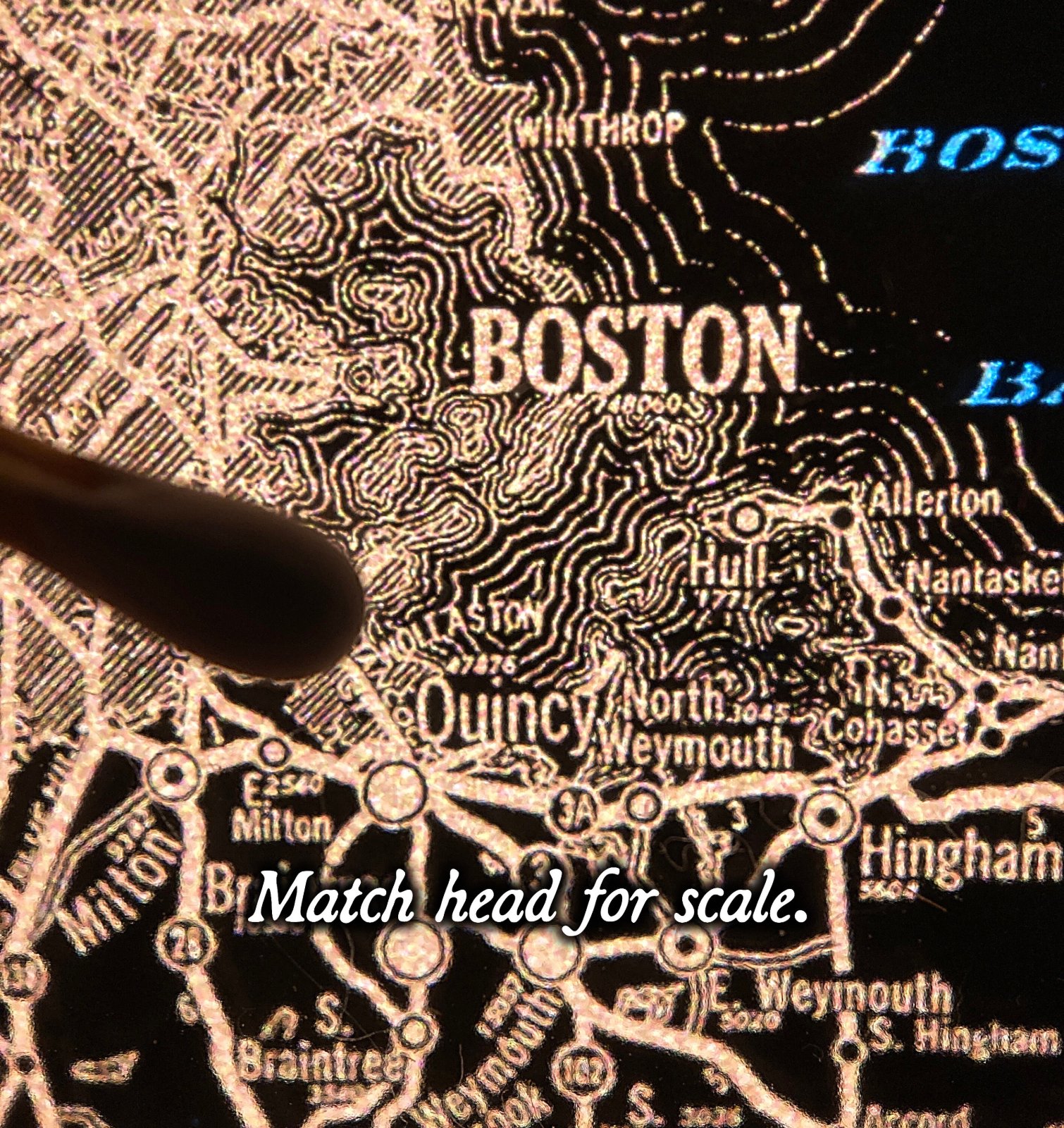
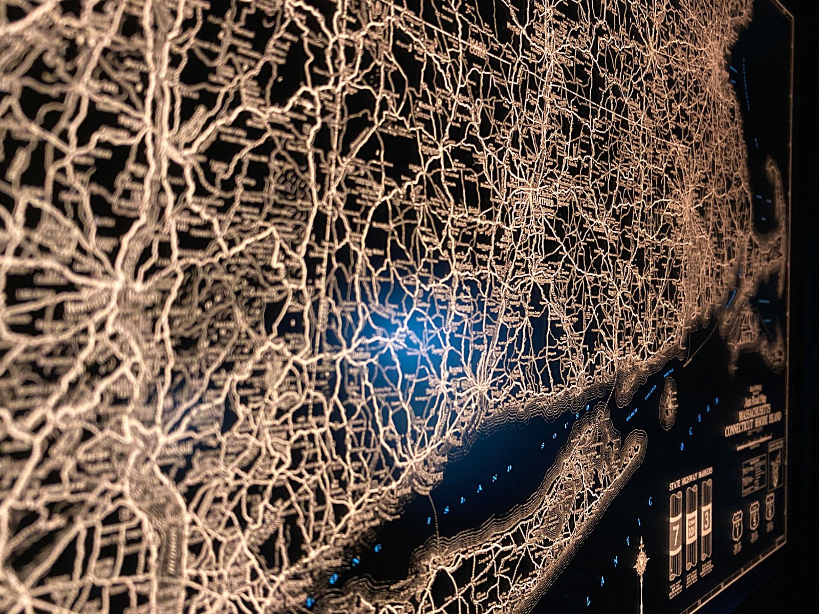
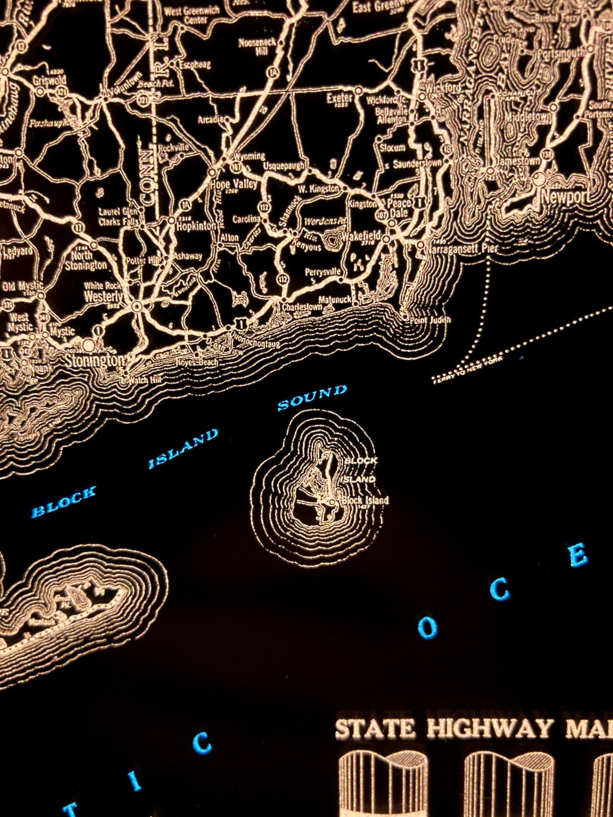
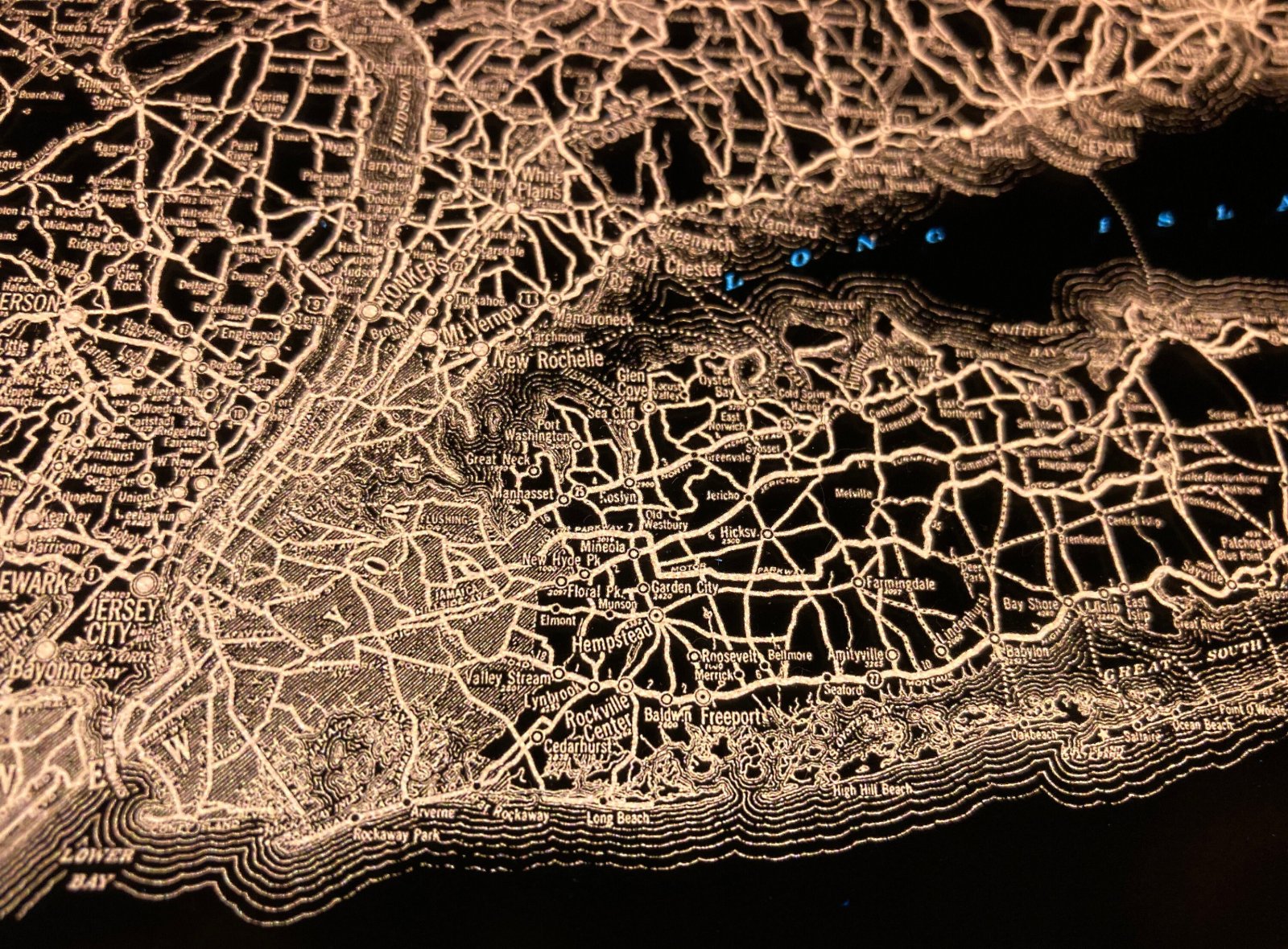
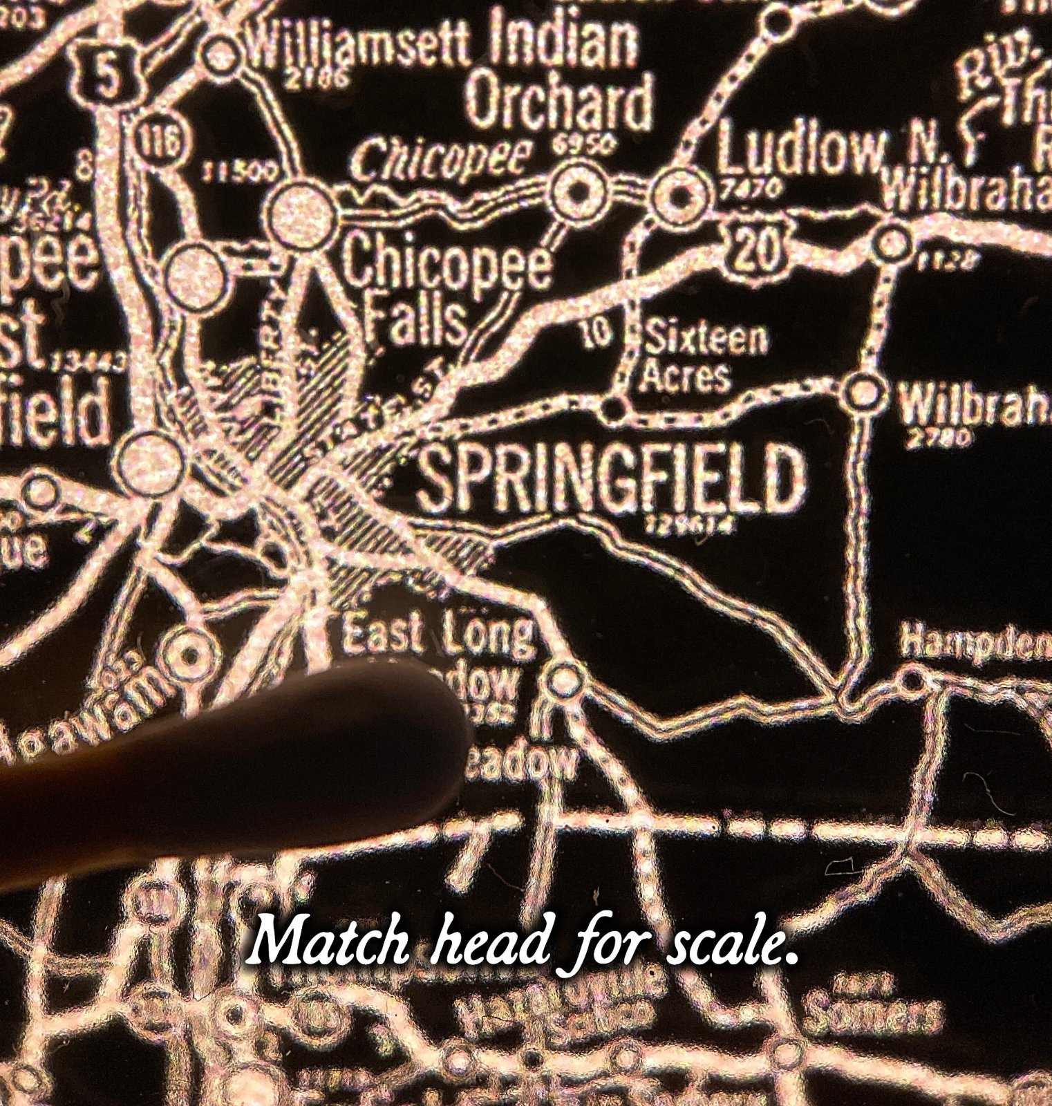
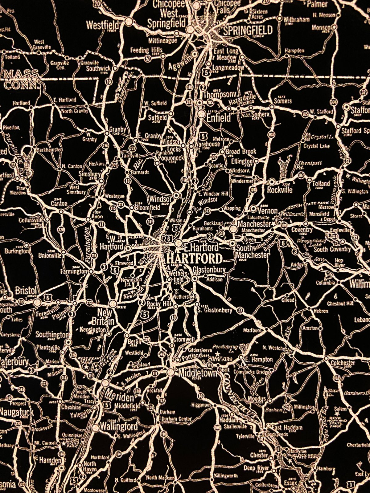
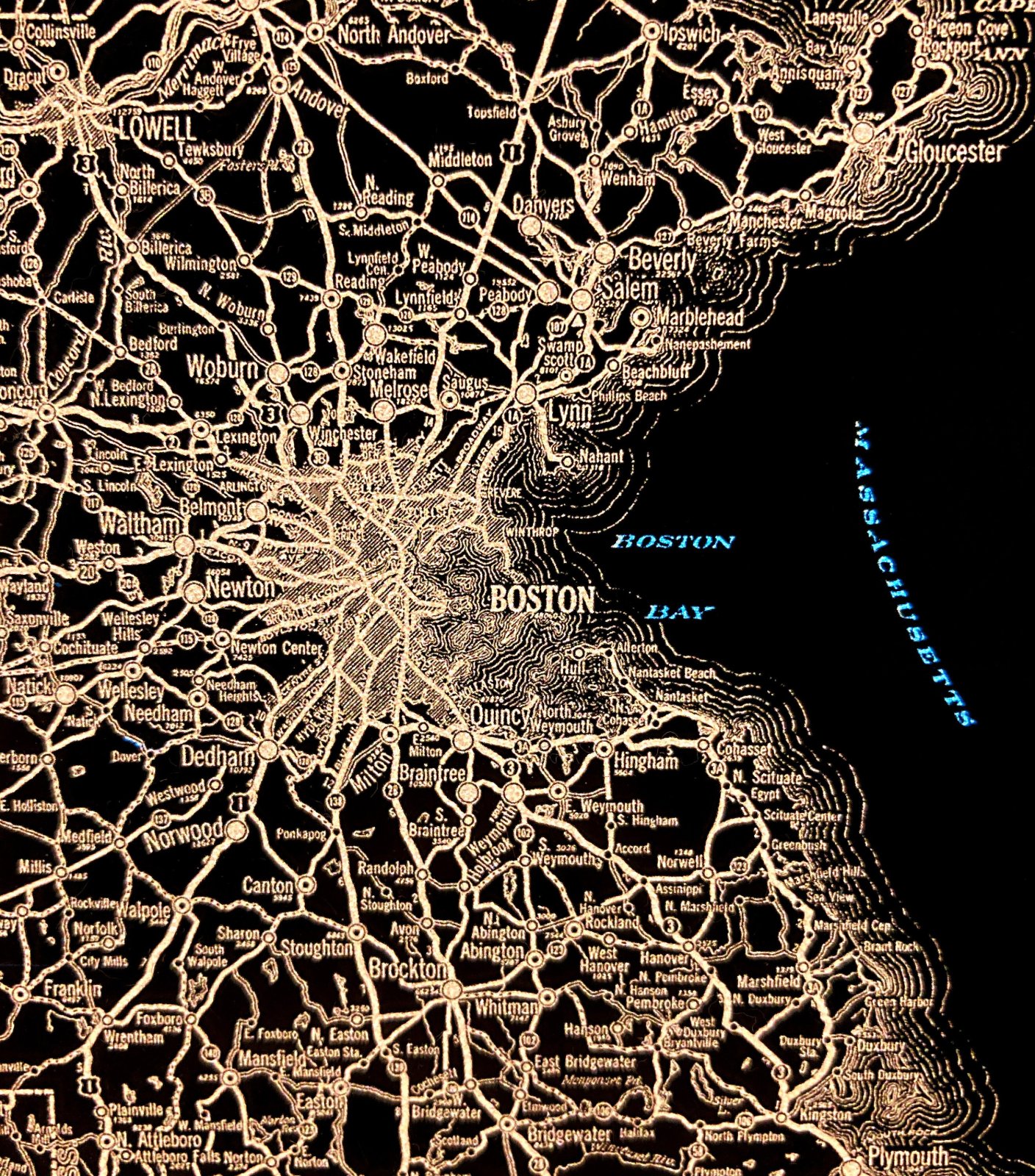
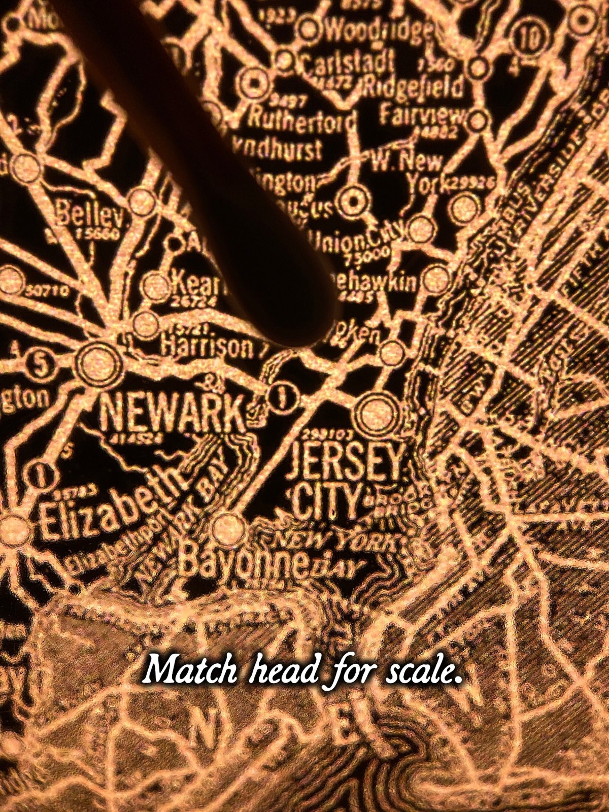
1927 road map of Massachusetts, Connecticut, Rhode Island and southeast New York.
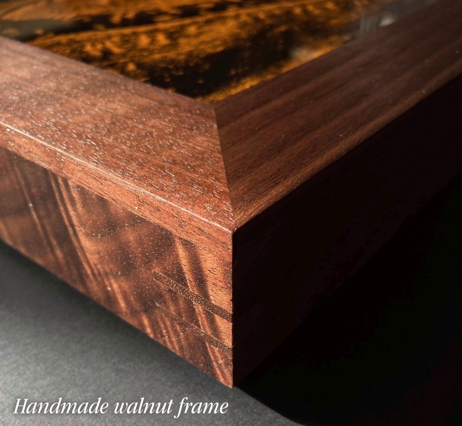
  • 12" x 18" x 1", 11 lb, aluminum frame.
  • Glazed with thick, transmissive chemcast acrylic.
  • Plugs into standard outlet.
  • Includes dimmer switch, stand, hanging cleat.
  • Made to order, ships by UPS; at your door in about 6 weeks.