
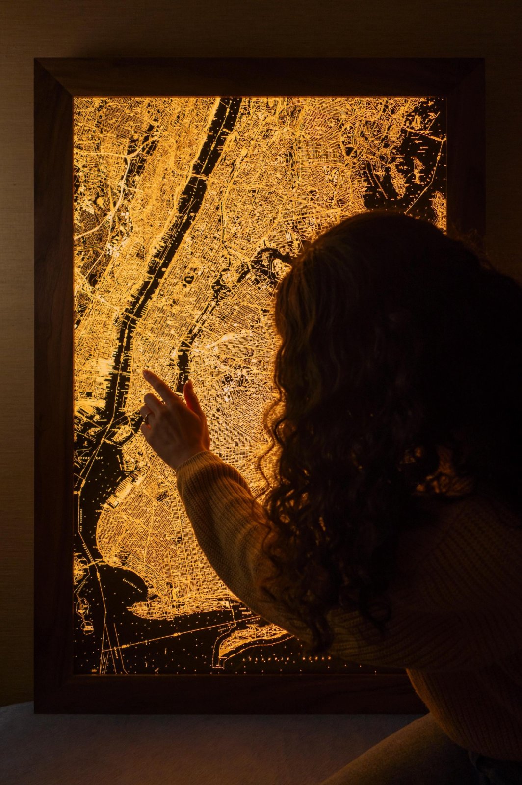
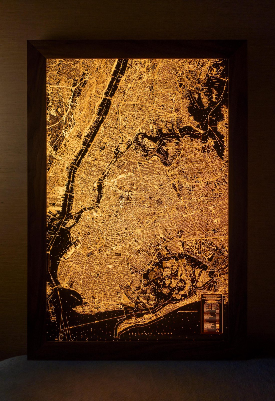
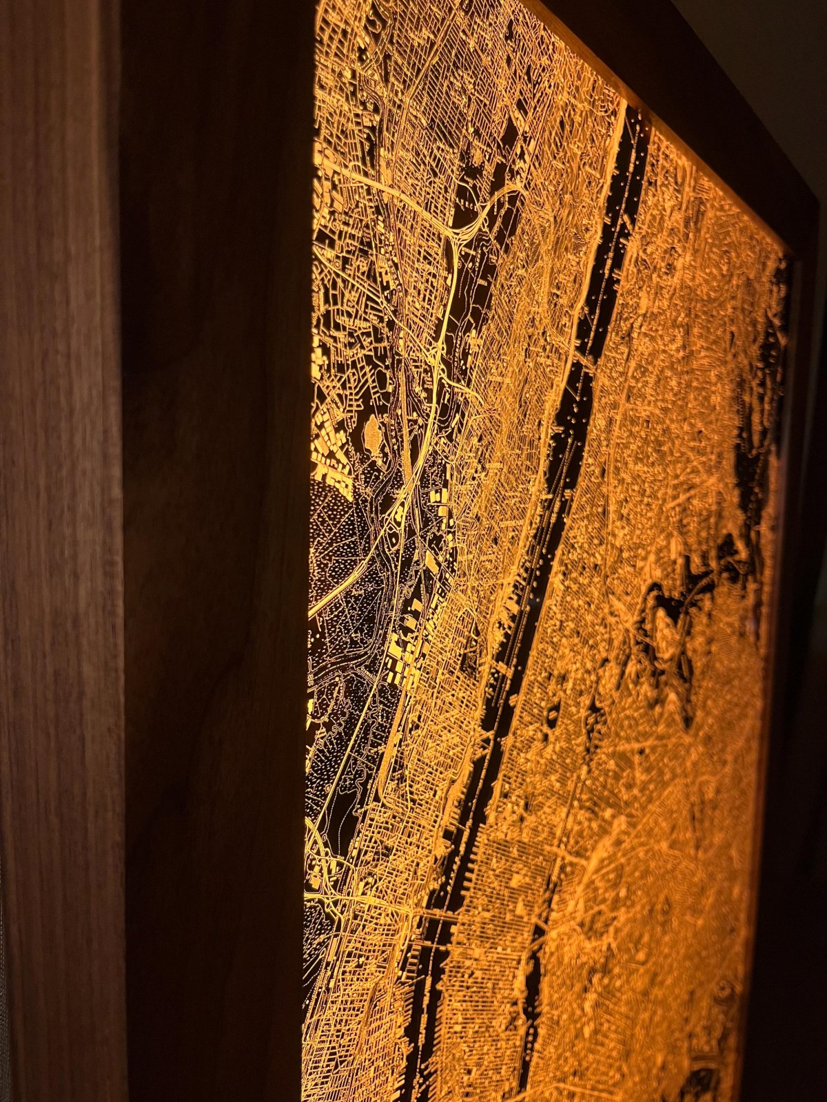
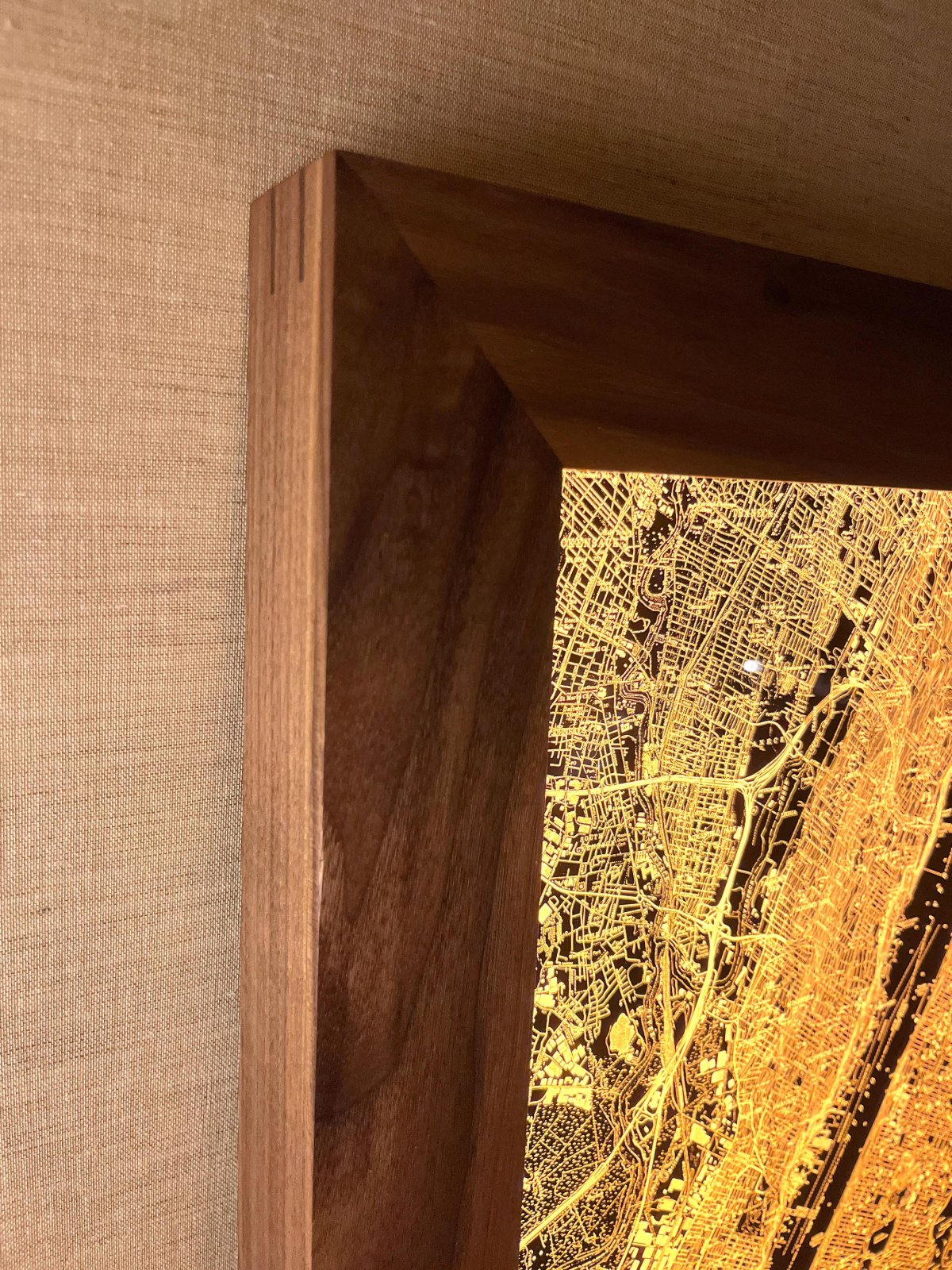
Backlit New York City Map
$8,000
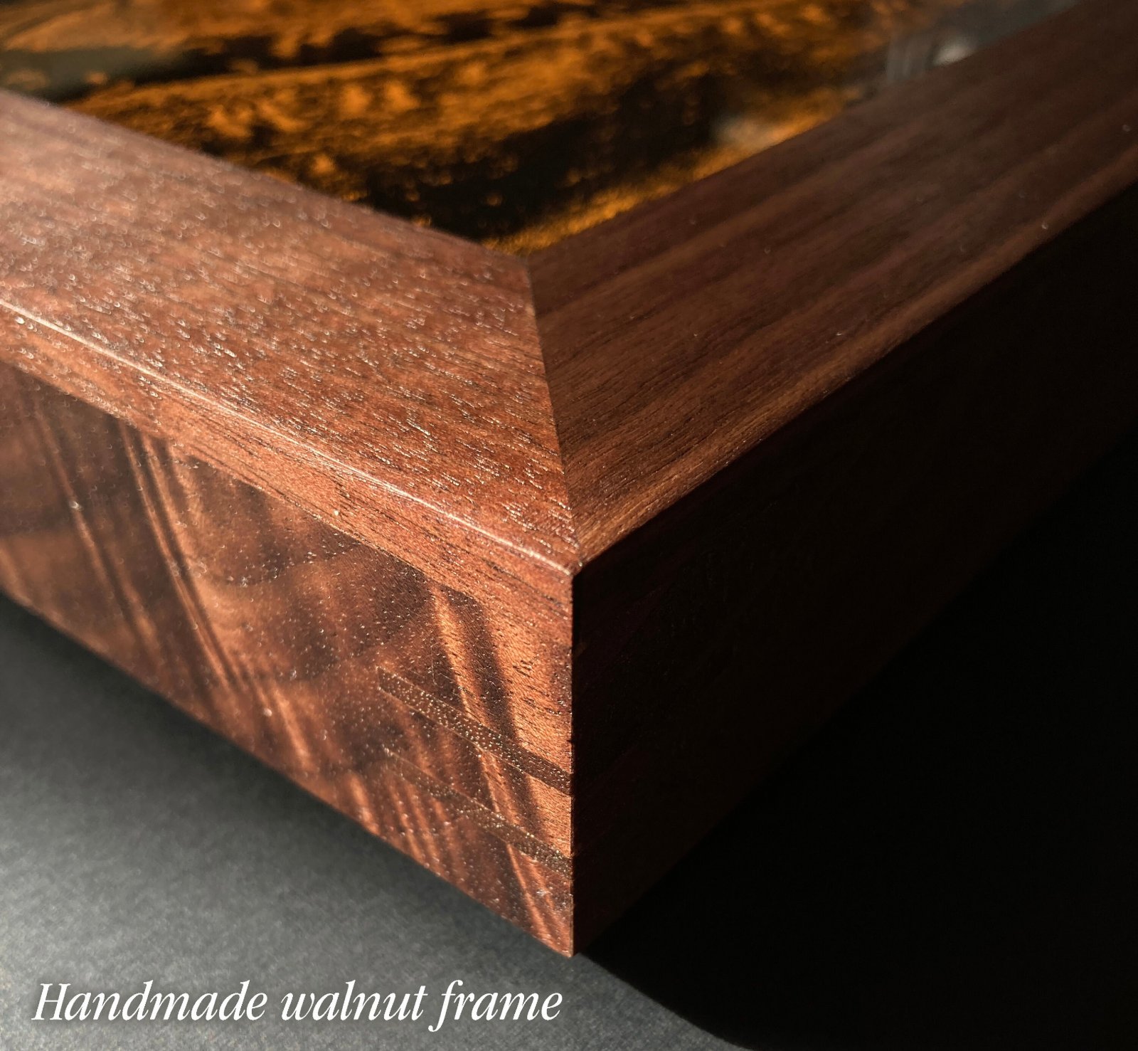
Materials: Aluminum, Film, Wood, LEDs
See more views at radiantmaps.co/nyc-1977.
From 1945 to 1992 the United States Geological Survey published tens of thousands of 1:24,000 scale topographic maps. The maps are a feat, the product of decades of work by hundreds of skilled cartographers, surveyors, geodesists, photogrammetrists and drafters.
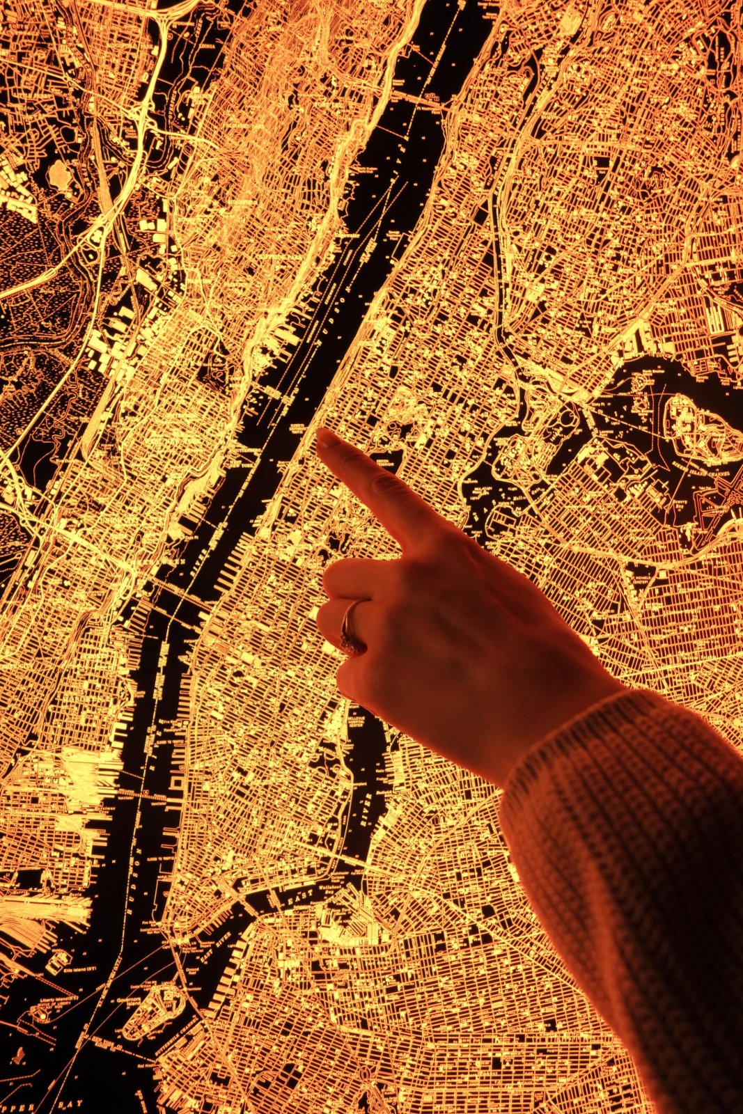
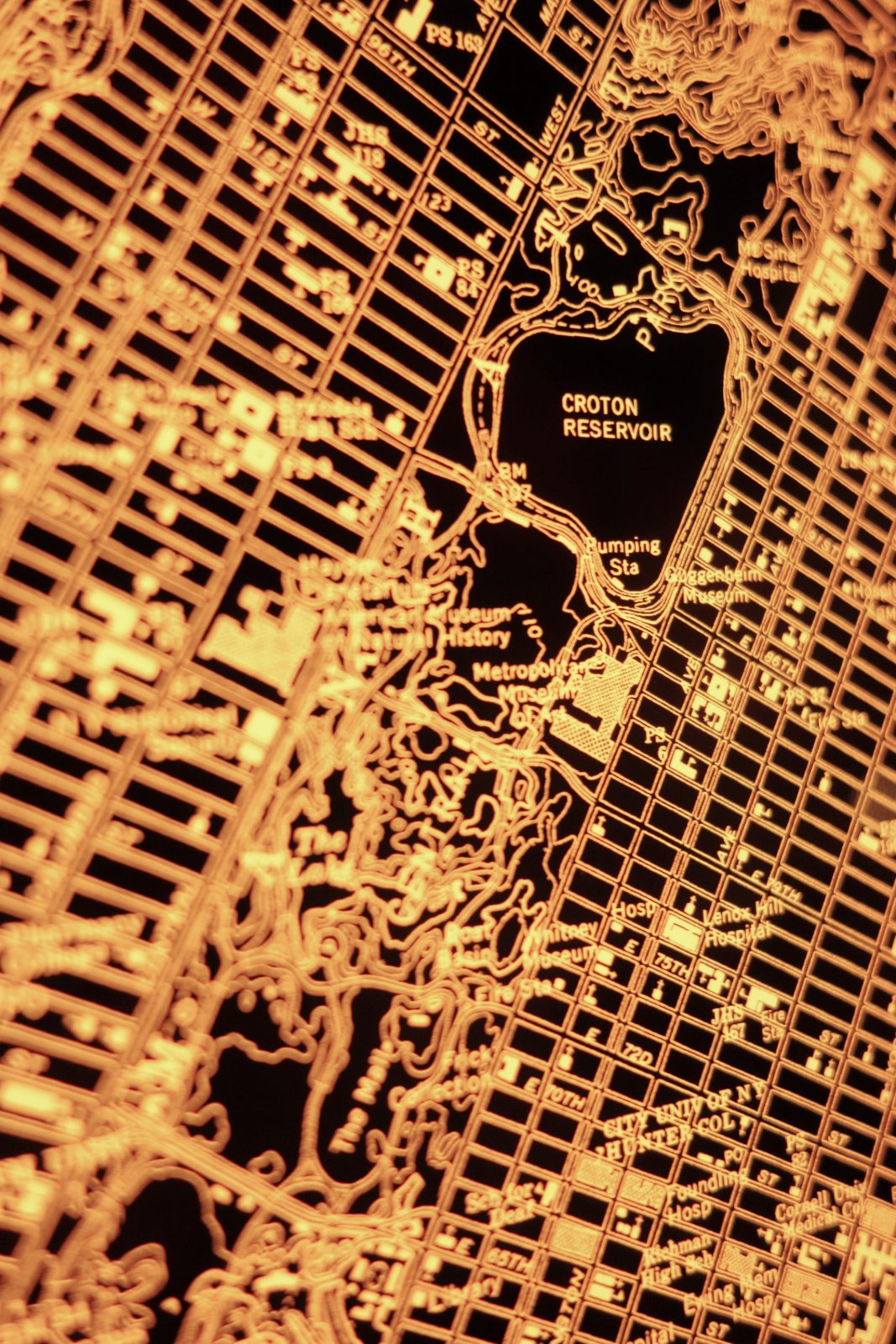
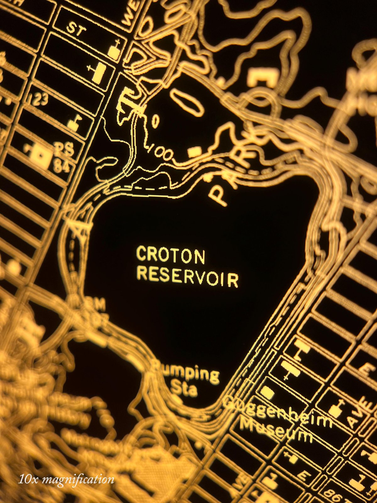
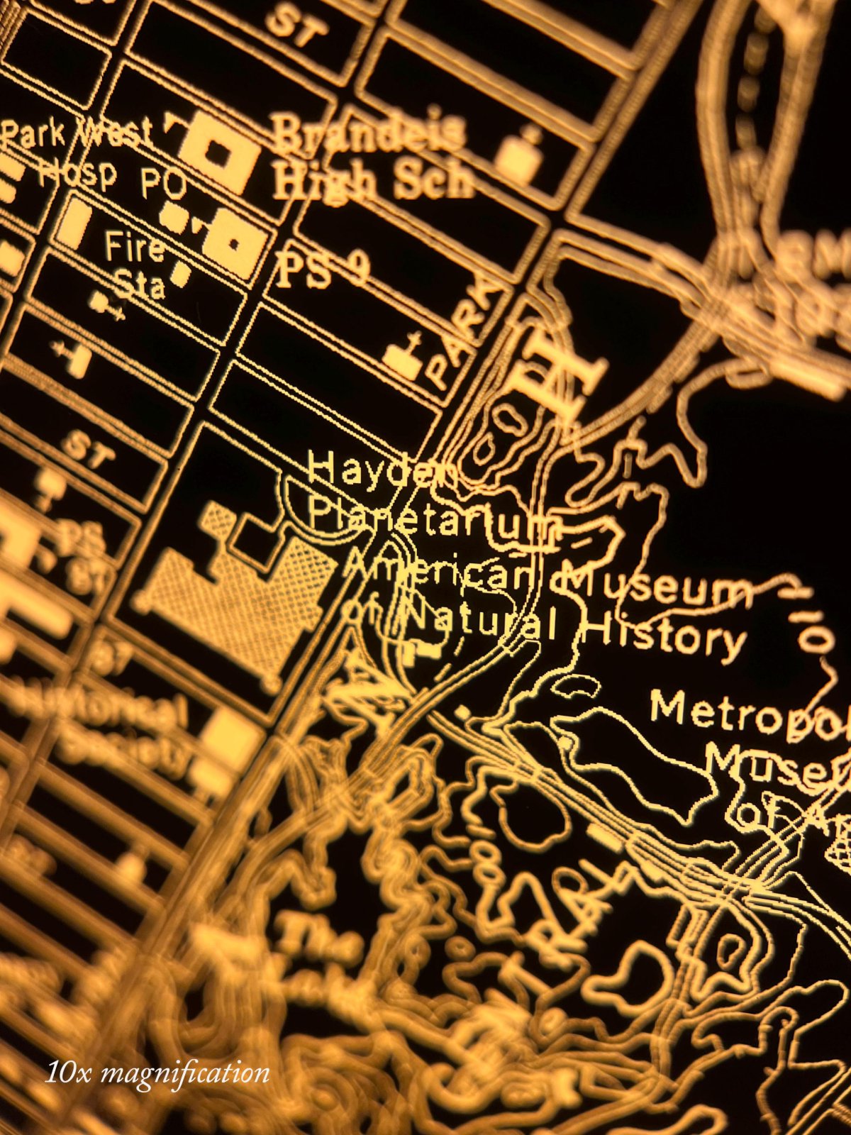
These topo maps, 9 of which are tiled here, divide the country into 70-square-mile rectangles. If the U.S. Geological Survey cared to know the location of a natural feature or human-made object, it was logged: buildings of temporal or spiritual authority, roads, petrochemical and electrical infrastructure, survey benchmarks, water treatment plants, high and low points, rivers, streamgages, bridges, railroads, cliffs, reefs, soundings, piers, prisons, lakes, swamps.
It makes a bad tourist map, marking all subway lines with the unhelpful “TRANSIT” and doesn’t say which bridges you can walk on. It does tell you the shapes of the forts; these were traced from aerial photos, so if it could be resolved on film + made sense to a Geological Survey cartographer, it was included on a topo quad. Plug it in and find your favorite museum.
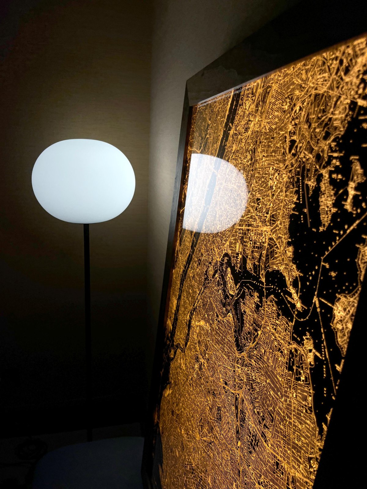
- 26" x 36" x 1 ½", 25 lb, aluminum frame.
- Glazed with thick, transmissive chemcast acrylic.
- Plugs into standard outlet. You choose whether you want the cord to come out of the top, bottom or side of the frame.
- Includes dimmer switch & hanging cleat.
- Made to order, ships by UPS; at your door in about 12 weeks.