
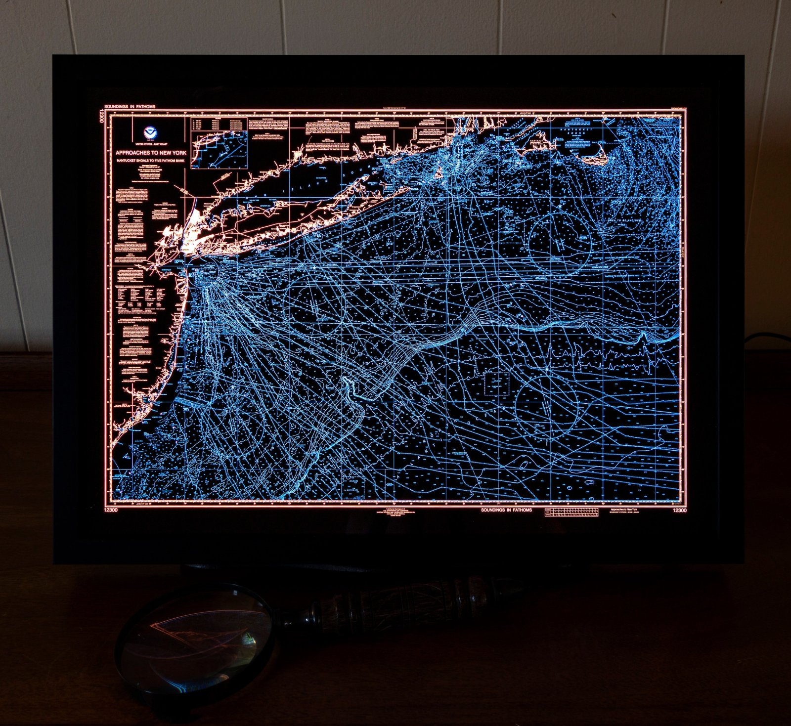

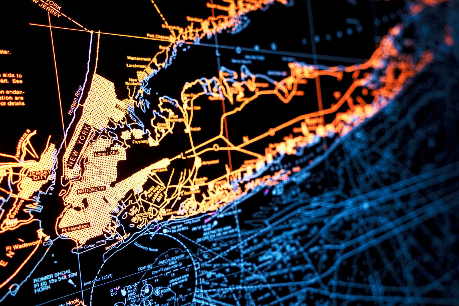
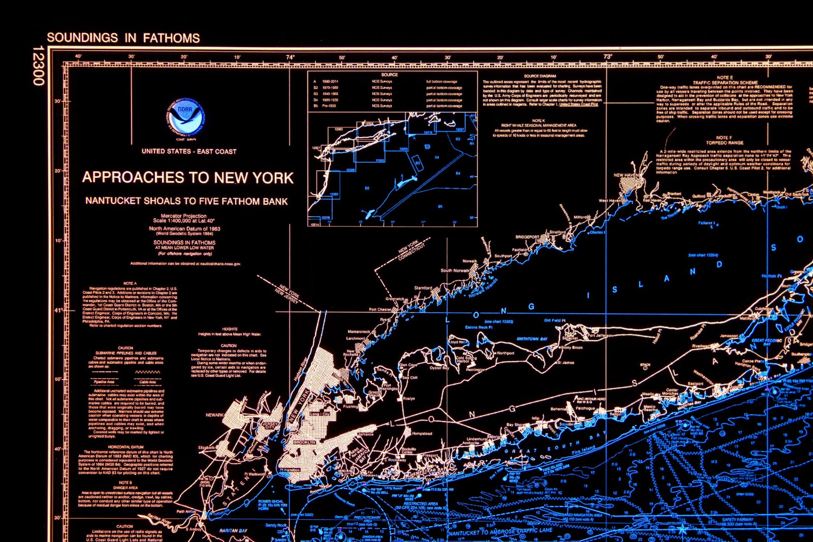

Backlit New York Nautical Map
$4,500
Materials: Aluminum, Film
Full resolution pics and map.
NOAA employs real cartographers, chartmakers. Their maps are load-bearing parts of global commerce, and if they make a mistake, people die. I make cute stuff that no one depends on.
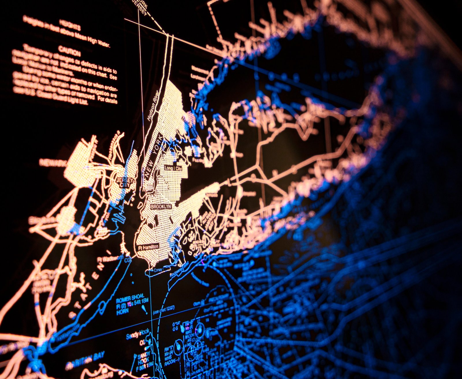
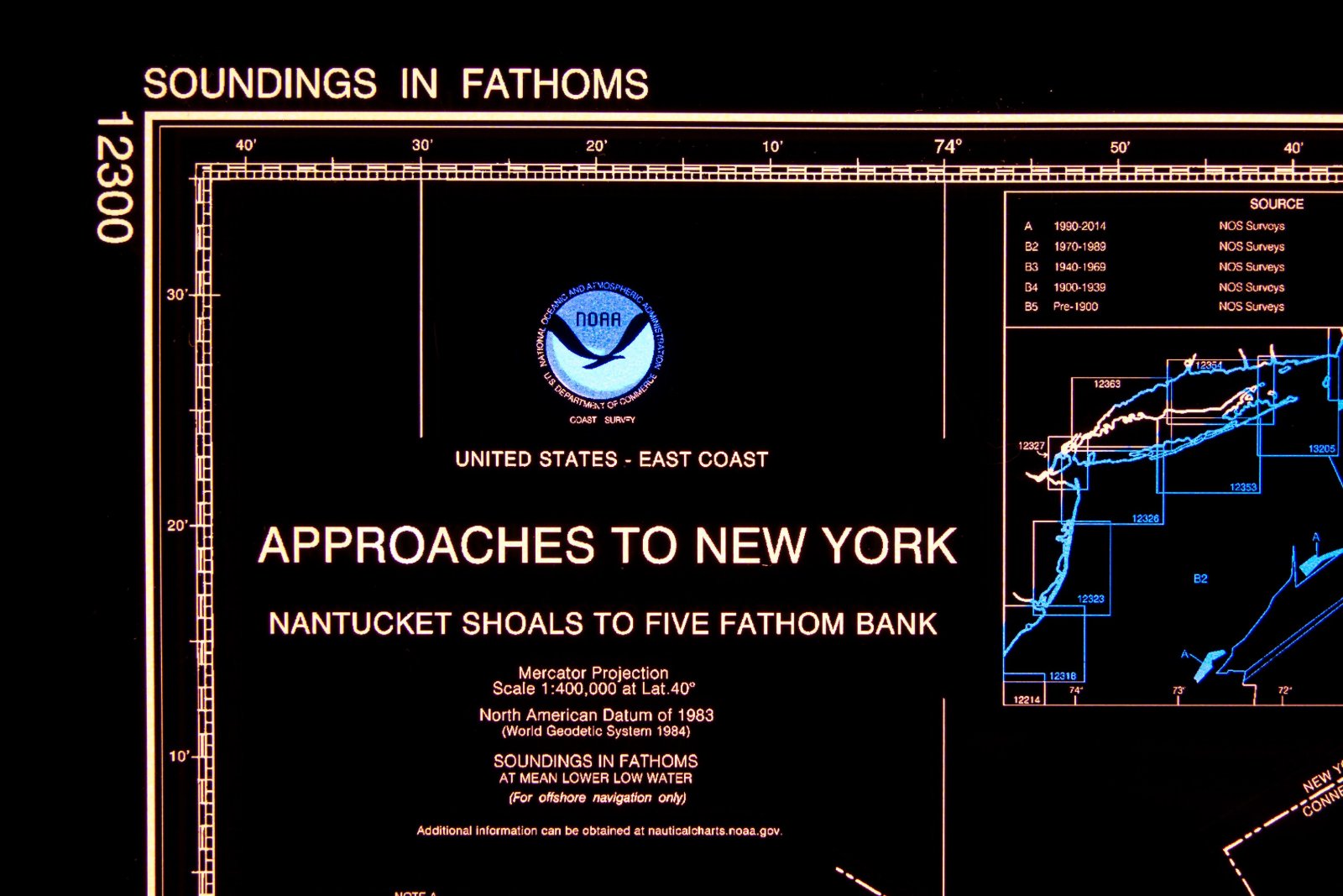
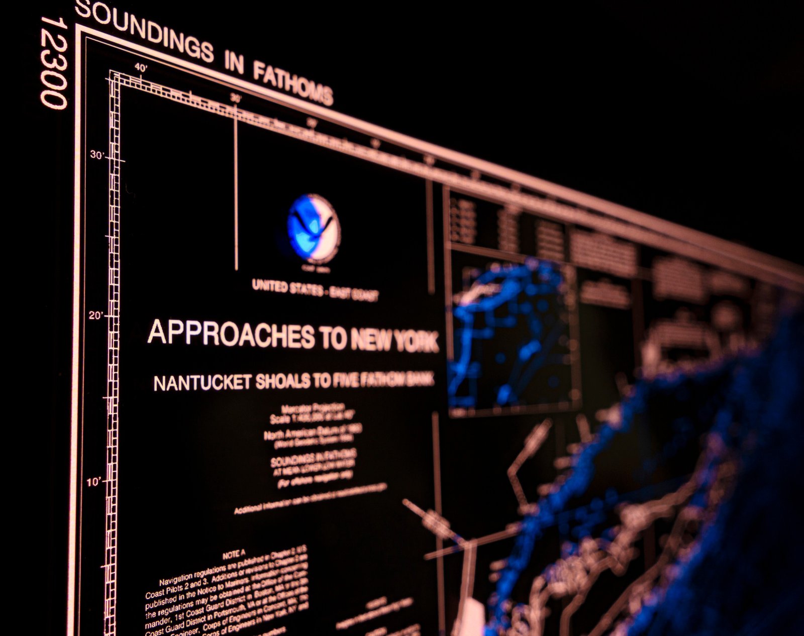
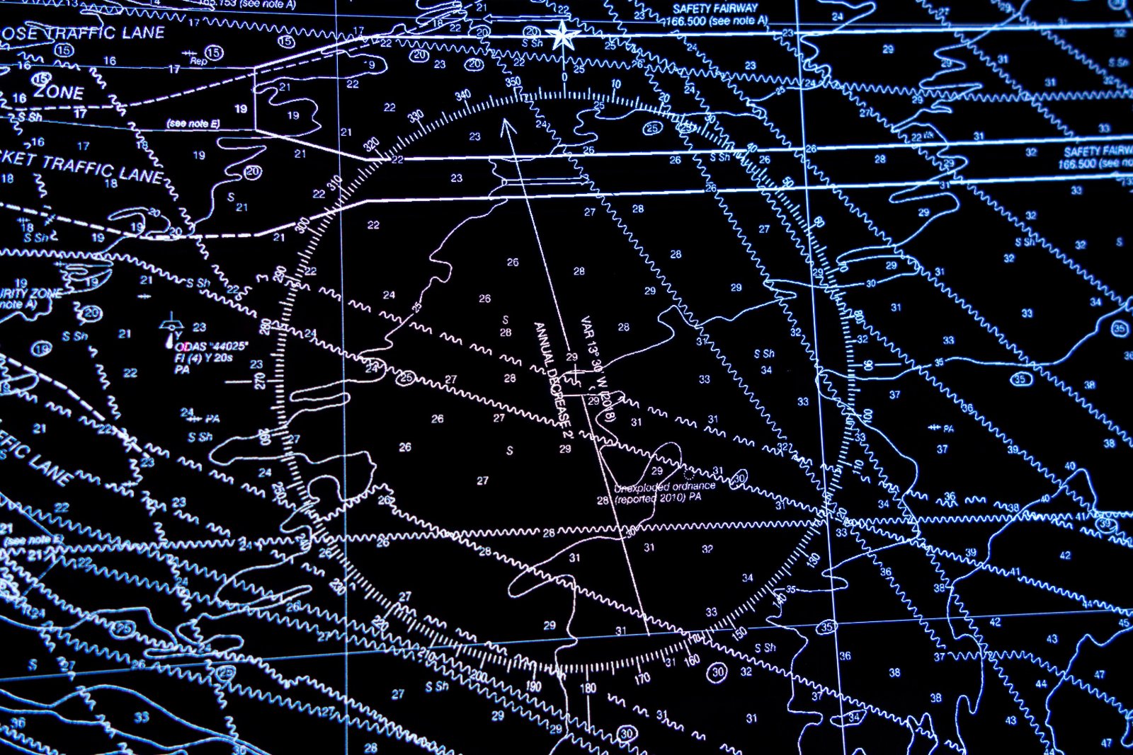
This is NOAA chart 12300 showing soundings, undersea cables, where you can’t drop anchor, aids to navigation, frequencies to check. I hate being on the water, can you tell me what any of this stuff means?
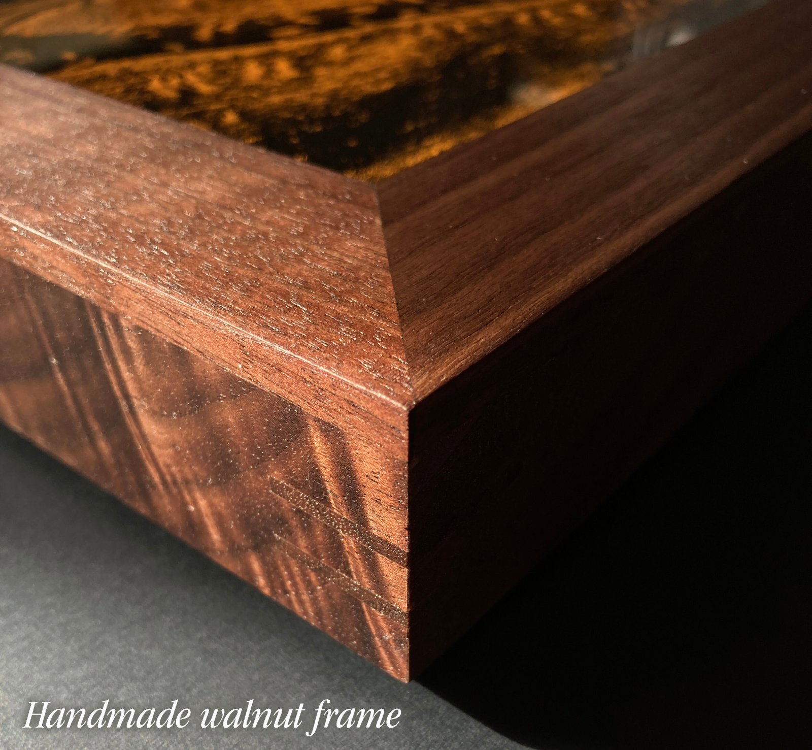
- 12" x 18" x 1", 11 lb, aluminum or handmade walnut frame.
- Glazed with thick, transmissive chemcast acrylic.
- Plugs into standard outlet.
- Includes dimmer switch, stand, hanging cleat.
- Made to order, ships by UPS; at your door in about 6 weeks.