

← All goods
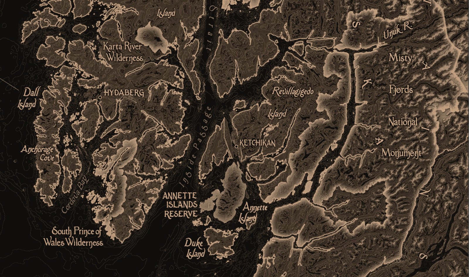
Tongass National Forest Map Print — photo 1Tongass National Forest Map Print — photo 2Tongass National Forest Map Print — photo 3Tongass National Forest Map Print — photo 4Tongass National Forest Map Print — photo 5Tongass National Forest Map Print — photo 6Tongass National Forest Map Print — photo 7Tongass National Forest Map Print — photo 8Tongass National Forest Map Print — photo 9Tongass National Forest Map Print — photo 10

Tongass National Forest Map Print

$32
Materials: Paper
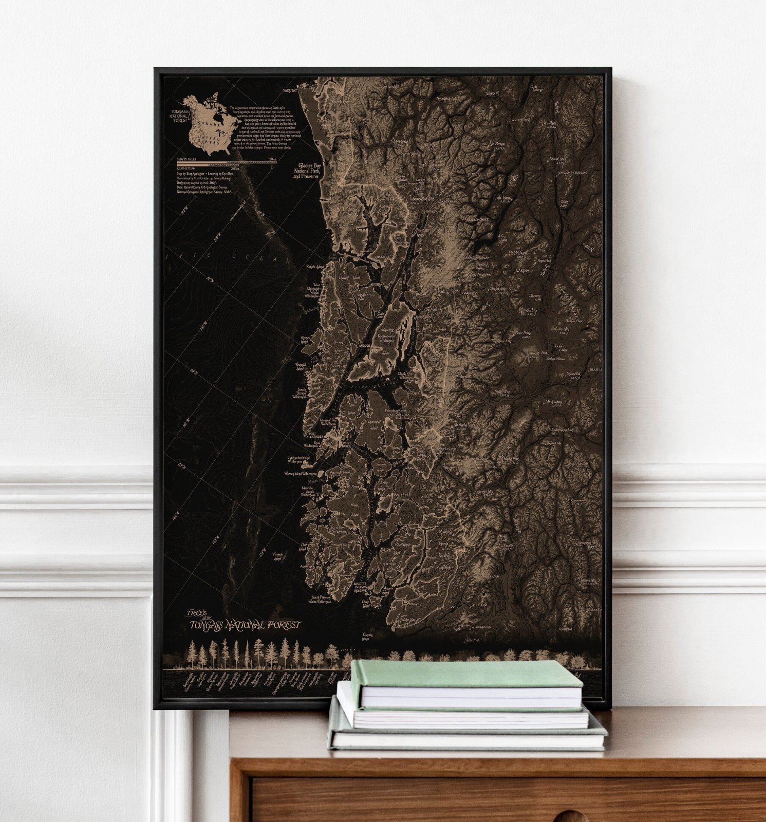
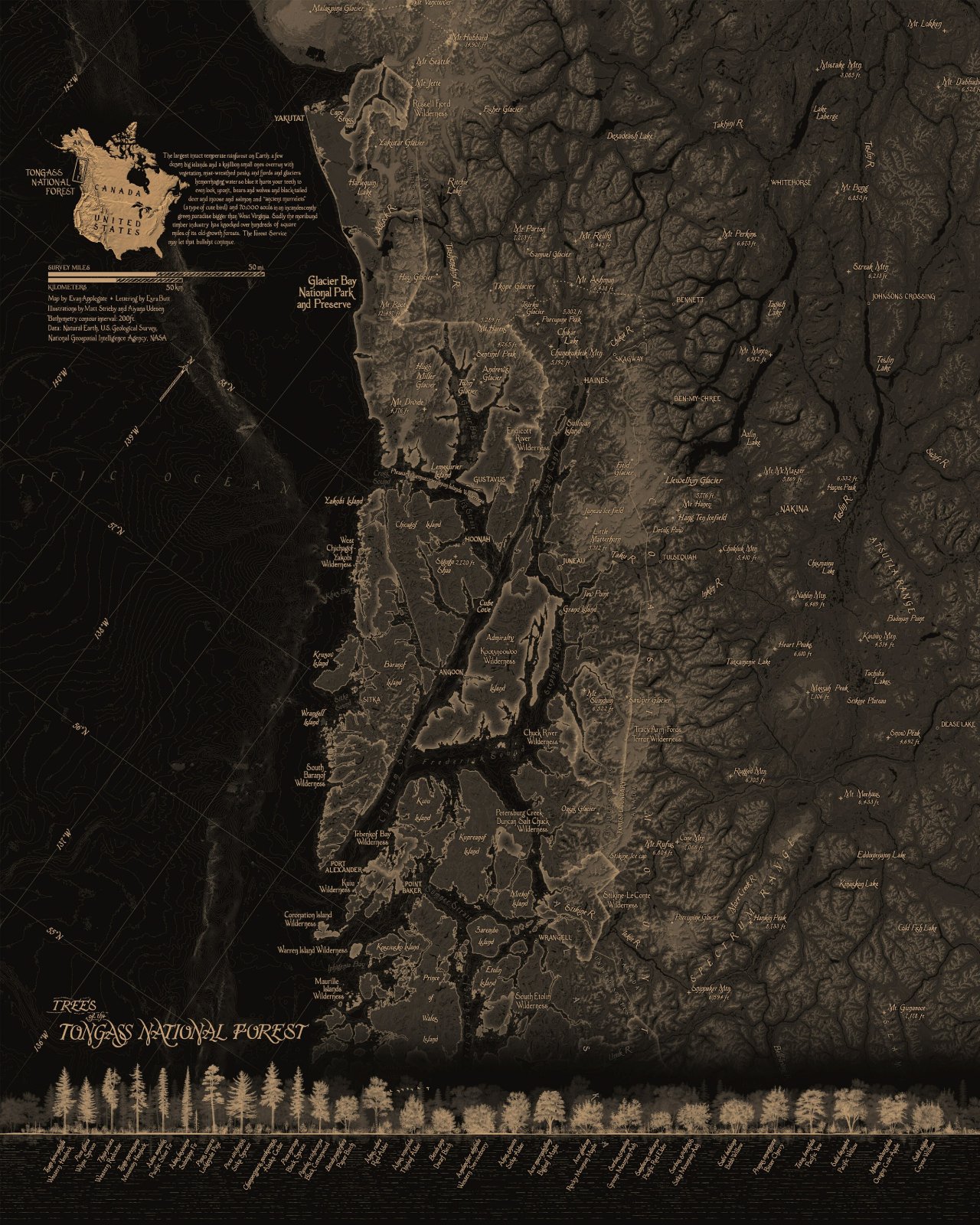
Full map.
  • Giclee print on 16 mil/300 gsm/110lb cotton rag hot press paper.
  • Unframed print, ships in a tube.
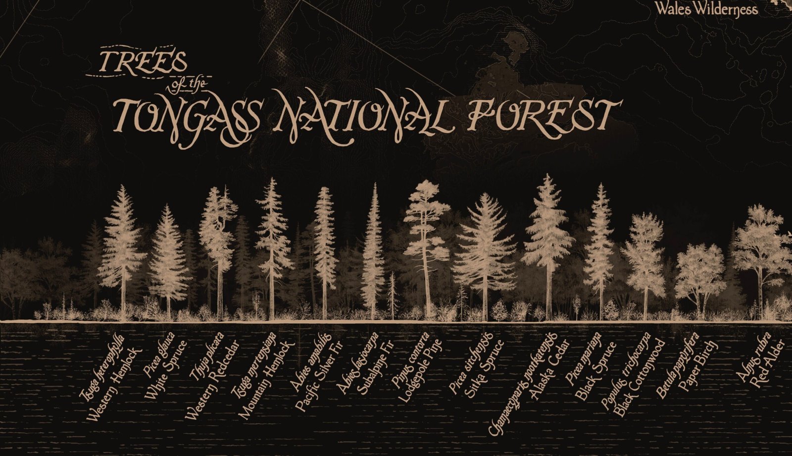
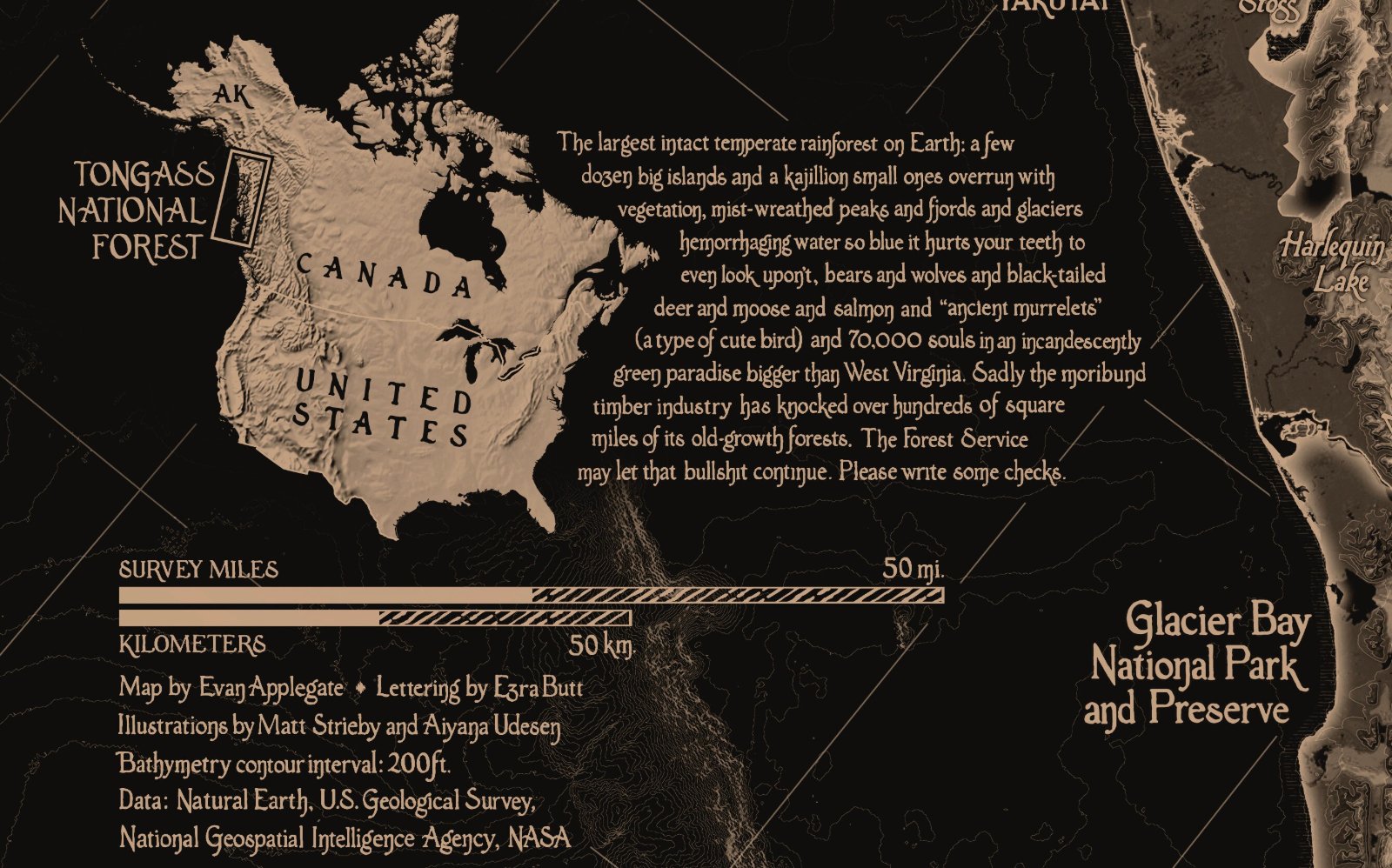
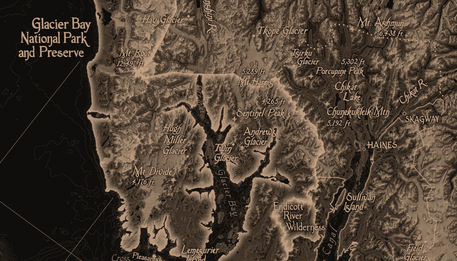
Hand-lettered by Ezra Butt, illustrations by Matt Strieby and Aiyana Udesen. I made this map in 2018 when I was a temp at the U.S. Forest Service. The Tongass is the largest intact temperate rainforest on Earth, a verdant paradise the size of West Virginia stretching over way too many Alaskan islands, mist-wreathed peaks and fjords and glaciers hemorrhaging water so blue it hurts your teeth to even look upon’t, bears and wolves and black-tailed deer and moose and salmon and “ancient murrelets” (a type of cute bird) and 70,000 souls. I prefer National Forests. A National Park says “Buy a keychain and please read our Interpretive Signage, penned by three people with seven degrees.” A National Forest says “We haven’t maintained that road since Carter, have fun.”
  • Arrives within 5 business days.